1949 Map of Tropic
USGS Topo · Published 1988About this map
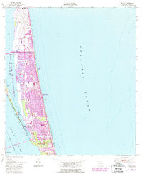
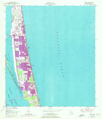
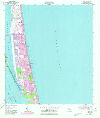
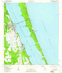
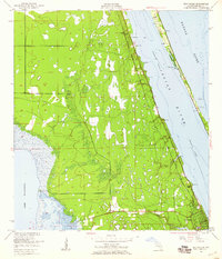
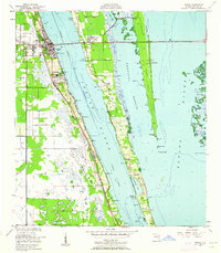
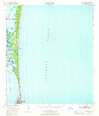
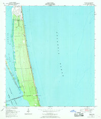
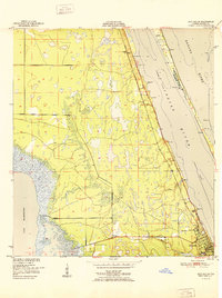
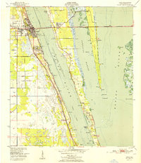
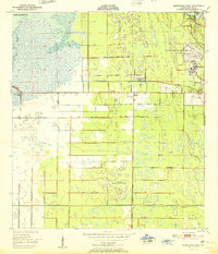
Patrick Air Force Base dominates the northern reaches of this barrier island landscape, anchoring a stretch of the Florida coast undergoing significant mid-century development. The barrier island, separated from Merritt Island by the Banana River, shows a growing network of residential streets and canals across Satellite Beach and Indian Harbour Beach. This survey, originally compiled in 1947 and field-checked in 1949, captures the area just before the space age would transform Brevard County into a global hub. Maritime navigation is vital to the area's character, evidenced by the series of daybeacons marking the Indian River and Banana River Aquatic Preserve, such as the Riley Daybeacon and Ban Daybeacon. Connectivity to the mainland is established via the Pineda Causeway and the Eau Gallie Bridge, while the southernmost portion reveals the northern fringes of Melbourne and the community of Eau Gallie.
Find a feature on this map
24 named features on this map. Tap any name to fly to it.
Don’t see what you’re looking for? This feature index may not catch every label — zoom into the map to look around manually.
Map Details
Editions of this 1949 Tropic Map
4 editions found
Other maps of this area
1949 · Melbourne West
USGS Topo · 1:24,000
1949 · Melbourne East
USGS Topo · 1:24,000
1949 · Eau Gallie
USGS Topo · 1:24,000
1949 · Cocoa
USGS Topo · 1:24,000
1949 · Cocoa Beach
USGS Topo · 1:24,000
1949 · Tropic
USGS Topo · 1:24,000

1951 · Melbourne East
USGS Topo · 1:24,000
1951 · Eau Gallie
USGS Topo · 1:24,000
1951 · Cocoa
USGS Topo · 1:24,000
1951 · Melbourne West
USGS Topo · 1:24,000