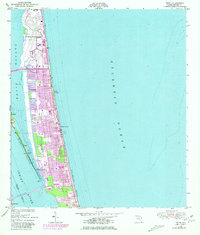
1949 Map of Tropic
USGS Topo · Published 1981About this map
Patrick Air Force Base dominates the northern reaches of this coastal barrier island survey, illustrating the significant military presence that shaped the Space Coast during the mid-20th century. The landscape is defined by its position between the Atlantic Ocean and the Banana River, with modern urban expansion shown in purple revisions reflecting the growth of Satellite Beach and Indian Harbour Beach through the late 1970s. Residential patterns are dense along the coast, punctuated by local landmarks like the Ocean Breeze School and a Drive-in Theater. Further south, the map captures the transition to Merritt Island via Mathers Bridge and the Eau Gallie Bridge, documenting the critical transportation links across the Indian River and the Intracoastal Waterway that fueled the region's post-war development.
Find a feature on this map
24 named features on this map. Tap any name to fly to it.
Don’t see what you’re looking for? This feature index may not catch every label — zoom into the map to look around manually.
Map Details
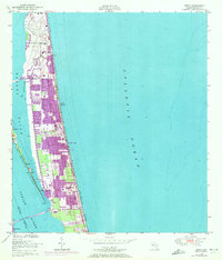
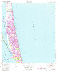
Editions of this 1949 Tropic Map
4 editions found
Other maps of this area

1949 · Melbourne West
USGS Topo · 1:24,000

1949 · Melbourne East
USGS Topo · 1:24,000

1949 · Eau Gallie
USGS Topo · 1:24,000

1949 · Cocoa
USGS Topo · 1:24,000

1949 · Cocoa Beach
USGS Topo · 1:24,000

1949 · Tropic
USGS Topo · 1:24,000

1951 · Melbourne East
USGS Topo · 1:24,000

1951 · Eau Gallie
USGS Topo · 1:24,000

1951 · Cocoa
USGS Topo · 1:24,000

1951 · Melbourne West
USGS Topo · 1:24,000