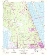
1949 Map of Eau Gallie
USGS Topo · Published 1988About this map
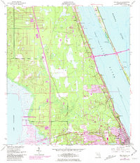
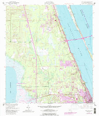
Eau Gallie and West Eau Gallie anchor the southern reach of this coastal survey, reflecting a period of post-war growth along the Florida Atlantic coast. The landscape is defined by the massive waterways of the Indian River and Banana River, separated by the southern tip of Merritt Island. Navigation is a central theme, evidenced by the Intracoastal Waterway and specialized aviation infrastructure like the Radio Range Sta and an Airway Beacon. Small settlements like Palm Shores, Pineda, and Lotus dot the shoreline, while the western interior transitions into the marshy expanse of Lake Washington. Later revisions in purple illustrate the rapid suburban expansion and infrastructure development, including the Pineda Road and Causeway connections, which transformed these early citrus and fishing communities into a burgeoning Space Coast corridor.
Find a feature on this map
21 named features on this map. Tap any name to fly to it.
Don’t see what you’re looking for? This feature index may not catch every label — zoom into the map to look around manually.
Map Details
Editions of this 1949 Eau Gallie Map
7 editions found
Other maps of this area

1949 · Melbourne West
USGS Topo · 1:24,000

1949 · Melbourne East
USGS Topo · 1:24,000

1949 · Eau Gallie
USGS Topo · 1:24,000

1949 · Cocoa
USGS Topo · 1:24,000

1949 · Cocoa Beach
USGS Topo · 1:24,000

1949 · Tropic
USGS Topo · 1:24,000

1951 · Melbourne East
USGS Topo · 1:24,000

1951 · Eau Gallie
USGS Topo · 1:24,000

1951 · Cocoa
USGS Topo · 1:24,000

1951 · Melbourne West
USGS Topo · 1:24,000