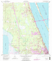
1949 Map of Eau Gallie
USGS Topo · Published 1988About this map
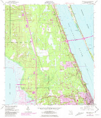
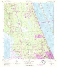
Indian River and the Intracoastal Waterway dominate this coastal landscape, capturing the Brevard County shoreline during its mid-century transition. The settlement of Eau Gallie sits at the confluence of the Eau Gallie River and the lagoon, while West Eau Gallie and Aurora show the early footprints of inland expansion. This survey reflects a time when the region's character was defined by its relationship with the water, from the marshes of Lake Washington to the protected Banana River Aquatic Preserve.
Find a feature on this map
23 named features on this map. Tap any name to fly to it.
Don’t see what you’re looking for? This feature index may not catch every label — zoom into the map to look around manually.
Map Details
Editions of this 1949 Eau Gallie Map
7 editions found
Other maps of this area

1949 · Melbourne West
USGS Topo · 1:24,000

1949 · Melbourne East
USGS Topo · 1:24,000

1949 · Eau Gallie
USGS Topo · 1:24,000

1949 · Cocoa
USGS Topo · 1:24,000

1949 · Cocoa Beach
USGS Topo · 1:24,000

1949 · Tropic
USGS Topo · 1:24,000

1951 · Melbourne East
USGS Topo · 1:24,000

1951 · Eau Gallie
USGS Topo · 1:24,000

1951 · Cocoa
USGS Topo · 1:24,000

1951 · Melbourne West
USGS Topo · 1:24,000