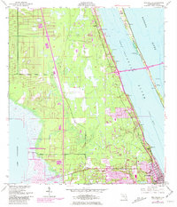
1949 Map of Eau Gallie
USGS Topo · Published 1981About this map
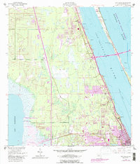
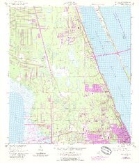
Indian River and the Banana River define this coastal landscape, where mid-century growth begins to bridge the barrier islands and mainland. The Florida East Coast railroad corridor anchors the inland settlements of Pineda, Palm Shores, and Eau Gallie, tracing a path parallel to the Intracoastal Waterway. This survey documents a critical period of transition as Melbourne expands northward and new infrastructure like the Pineda Road Causeway starts to connect the mainland to Merritt Island. Away from the shoreline, the terrain gives way to the marshes bordering Lake Washington, while specialized landmarks such as a Radio Range Sta and an Airway Beacon highlight the era's developing maritime and aerial navigation networks. Small community nodes like Aurora and West Eau Gallie show the early residential footprint before later 20th-century suburbanization fully unified the corridor.
Find a feature on this map
31 named features on this map. Tap any name to fly to it.
Don’t see what you’re looking for? This feature index may not catch every label — zoom into the map to look around manually.
Map Details
Editions of this 1949 Eau Gallie Map
7 editions found
Other maps of this area

1949 · Melbourne West
USGS Topo · 1:24,000

1949 · Melbourne East
USGS Topo · 1:24,000

1949 · Eau Gallie
USGS Topo · 1:24,000

1949 · Cocoa
USGS Topo · 1:24,000

1949 · Cocoa Beach
USGS Topo · 1:24,000

1949 · Tropic
USGS Topo · 1:24,000

1951 · Melbourne East
USGS Topo · 1:24,000

1951 · Eau Gallie
USGS Topo · 1:24,000

1951 · Cocoa
USGS Topo · 1:24,000

1951 · Melbourne West
USGS Topo · 1:24,000