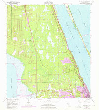
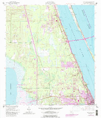
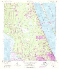
1949 Map of Eau Gallie
USGS Topo · Published 1975About this map
Eau Gallie and its surrounding communities sit at the intersection of Florida’s inland marshes and its Atlantic coastal lagoons. This 1949 topographic record, updated with 1970 revisions, documents the post-war transition of Brevard County from a railroad-dependent agricultural and citrus corridor into an expanding residential zone. The Florida East Coast railway serves as the primary spine for development, linking small settlements like Lotus, Pineda, and Palm Shores along the western shore of the Indian River.
Find a feature on this map
21 named features on this map. Tap any name to fly to it.
Don’t see what you’re looking for? This feature index may not catch every label — zoom into the map to look around manually.
Map Details
Editions of this 1949 Eau Gallie Map
7 editions found
Other maps of this area

1949 · Melbourne West
USGS Topo · 1:24,000

1949 · Melbourne East
USGS Topo · 1:24,000

1949 · Eau Gallie
USGS Topo · 1:24,000

1949 · Cocoa
USGS Topo · 1:24,000

1949 · Cocoa Beach
USGS Topo · 1:24,000

1949 · Tropic
USGS Topo · 1:24,000

1951 · Melbourne East
USGS Topo · 1:24,000

1951 · Eau Gallie
USGS Topo · 1:24,000

1951 · Cocoa
USGS Topo · 1:24,000

1951 · Melbourne West
USGS Topo · 1:24,000