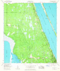
1949 Map of Eau Gallie
USGS Topo · Published 1968About this map
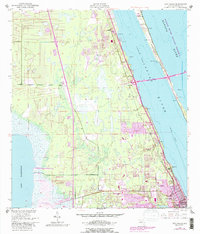
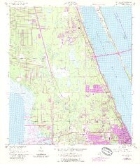
The Florida East Coast railway corridor serves as the primary artery for this mid-century coastal landscape, connecting established hubs like Eau Gallie with smaller settlements such as Aurora, Pineda, and Lotus. Situated between Lake Washington to the west and the saltwater systems of the Indian River and Banana River to the east, the region's geography is defined by its transition from freshwater marshes to the narrow barrier of Merritt Island.
Find a feature on this map
29 named features on this map. Tap any name to fly to it.
Don’t see what you’re looking for? This feature index may not catch every label — zoom into the map to look around manually.
Map Details
Editions of this 1949 Eau Gallie Map
7 editions found
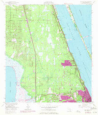
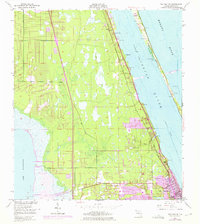
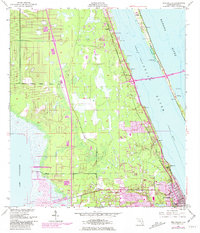
Other maps of this area

1949 · Melbourne West
USGS Topo · 1:24,000

1949 · Melbourne East
USGS Topo · 1:24,000

1949 · Eau Gallie
USGS Topo · 1:24,000

1949 · Cocoa
USGS Topo · 1:24,000

1949 · Cocoa Beach
USGS Topo · 1:24,000

1949 · Tropic
USGS Topo · 1:24,000

1951 · Melbourne East
USGS Topo · 1:24,000

1951 · Eau Gallie
USGS Topo · 1:24,000

1951 · Cocoa
USGS Topo · 1:24,000

1951 · Melbourne West
USGS Topo · 1:24,000