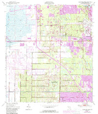
1949 Map of Melbourne West
USGS Topo · Published 1988About this map
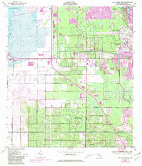
Lake Washington and the upper reaches of the St Johns River define the western edge of this coastal Florida landscape, where reclaimed wetlands transition into rapidly expanding mid-century communities. The map captures the suburbanization of Brevard County as modern residential footprints in purple overlay the original 1949 topography. Coastal growth is anchored by Melbourne and Eau Gallie, with the Melbourne Regional Airport serving as a major infrastructure hub. Inland, smaller hubs like Melbourne Village, June Park, and Mintons Corner appear amidst a network of drainage features such as the Melbourne Tillman Canal and numerous spoil banks. The presence of the Air Force Eastern Test Range (Malabar Annex) reflects the region's increasing strategic importance during the early Space Age, while recreational spaces like the Melbourne Golf and Country Club signal the area's burgeoning resort and retirement identity.
Find a feature on this map
22 named features on this map. Tap any name to fly to it.
Don’t see what you’re looking for? This feature index may not catch every label — zoom into the map to look around manually.
Map Details
Editions of this 1949 Melbourne West Map
8 editions found
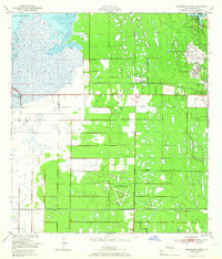
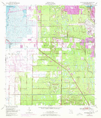
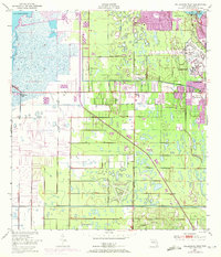
Other maps of this area

1949 · Melbourne West
USGS Topo · 1:24,000

1949 · Melbourne East
USGS Topo · 1:24,000

1949 · Eau Gallie
USGS Topo · 1:24,000

1949 · Grant
USGS Topo · 1:24,000

1949 · Tropic
USGS Topo · 1:24,000

1951 · Melbourne East
USGS Topo · 1:24,000

1951 · Eau Gallie
USGS Topo · 1:24,000

1951 · Melbourne West
USGS Topo · 1:24,000

1951 · Grant
USGS Topo · 1:24,000
1951 · Tropic
USGS Topo · 1:24,000