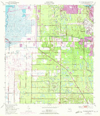
1949 Map of Melbourne West
USGS Topo · Published 1972About this map
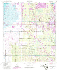
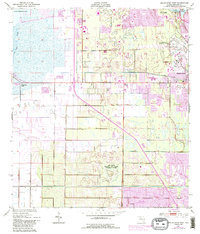
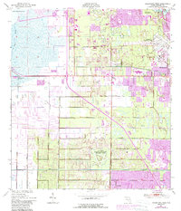
Eau Gallie and Melbourne anchor this detailed coastal survey, showing a landscape defined by significant drainage projects and Cold War-era expansion. The Melbourne Tillman Canal and various levees underscore the massive engineering efforts required to manage the wetlands between the St Johns River and the Atlantic coast. This specific edition uses purple photorevision to document the rapid suburban growth and road development that occurred between 1948 and 1970, including the expansion of West Melbourne and the establishment of residential clusters like Melbourne Village.
Find a feature on this map
19 named features on this map. Tap any name to fly to it.
Don’t see what you’re looking for? This feature index may not catch every label — zoom into the map to look around manually.
Map Details
Editions of this 1949 Melbourne West Map
8 editions found
Other maps of this area

1949 · Melbourne West
USGS Topo · 1:24,000

1949 · Melbourne East
USGS Topo · 1:24,000

1949 · Eau Gallie
USGS Topo · 1:24,000

1949 · Grant
USGS Topo · 1:24,000

1949 · Tropic
USGS Topo · 1:24,000

1951 · Melbourne East
USGS Topo · 1:24,000

1951 · Eau Gallie
USGS Topo · 1:24,000

1951 · Melbourne West
USGS Topo · 1:24,000

1951 · Grant
USGS Topo · 1:24,000
1951 · Tropic
USGS Topo · 1:24,000