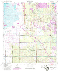
1949 Map of Melbourne West
USGS Topo · Published 1986About this map
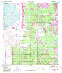
Eau Gallie and Melbourne anchor this coastal Florida landscape during a period of rapid mid-century expansion along the Florida East Coast railway. The map captures a complex network of hydrological engineering, including the Melbourne Tillman Canal and extensive spoil banks, illustrating the effort to reclaim and manage the wetlands between the St Johns River and the Atlantic. This 1949 survey, later revised to reflect urban growth, highlights the emergence of planned communities like Melbourne Village and West Melbourne alongside specialized facilities such as the Air Force Eastern Test Range (Malabar Annex). From the northern reaches of Lake Washington down to the residential developments of Palm Bay, the map documents a transition from swampy wildland to a structured aerospace and commuter corridor. Local landmarks like the Melbourne Regional Airport and the State Hospital provide significant points of interest for historical and genealogical research.
Find a feature on this map
23 named features on this map. Tap any name to fly to it.
Don’t see what you’re looking for? This feature index may not catch every label — zoom into the map to look around manually.
Map Details
Editions of this 1949 Melbourne West Map
8 editions found
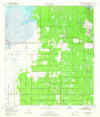
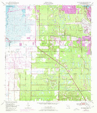
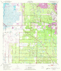
Other maps of this area

1949 · Melbourne West
USGS Topo · 1:24,000

1949 · Melbourne East
USGS Topo · 1:24,000

1949 · Eau Gallie
USGS Topo · 1:24,000

1949 · Grant
USGS Topo · 1:24,000

1949 · Tropic
USGS Topo · 1:24,000

1951 · Melbourne East
USGS Topo · 1:24,000

1951 · Eau Gallie
USGS Topo · 1:24,000

1951 · Melbourne West
USGS Topo · 1:24,000

1951 · Grant
USGS Topo · 1:24,000
1951 · Tropic
USGS Topo · 1:24,000