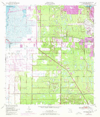
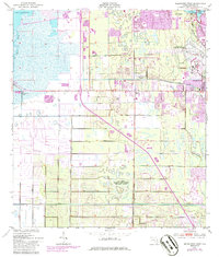
1949 Map of Melbourne West
USGS Topo · Published 1971About this map
Lake Washington and the headwaters of the St Johns River anchor the western edge of this coastal landscape, which underwent significant change during the mid-20th century. The map documents the rapid expansion of suburbs like West Melbourne and June Park, as well as the specialized community of Melbourne Village. The aerospace and military influence of the era is clearly visible, with the John F Kennedy Memorial Airport and the Air Force Eastern Test Range (Malabar Annex) occupying large tracts of land. Critical infrastructure such as the Melbourne Tillman Canal and its associated spoil banks illustrate the massive water management projects required to develop the Florida wetlands. Cultural landmarks like the Melbourne Golf and Country Club and the State Hospital provide a look at the social fabric of the Brevard County area at the dawn of the 1970s.
Find a feature on this map
22 named features on this map. Tap any name to fly to it.
Don’t see what you’re looking for? This feature index may not catch every label — zoom into the map to look around manually.
Map Details
Editions of this 1949 Melbourne West Map
8 editions found
Other maps of this area

1949 · Melbourne West
USGS Topo · 1:24,000

1949 · Melbourne East
USGS Topo · 1:24,000

1949 · Eau Gallie
USGS Topo · 1:24,000

1949 · Grant
USGS Topo · 1:24,000

1949 · Tropic
USGS Topo · 1:24,000

1951 · Melbourne East
USGS Topo · 1:24,000

1951 · Eau Gallie
USGS Topo · 1:24,000

1951 · Melbourne West
USGS Topo · 1:24,000

1951 · Grant
USGS Topo · 1:24,000
1951 · Tropic
USGS Topo · 1:24,000