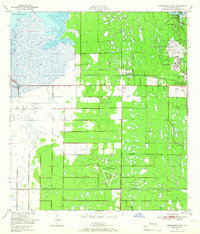
1949 Map of Melbourne West
USGS Topo · Published 1966About this map
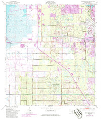
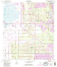
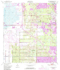
Malabar Naval Air Station anchors the southern half of this landscape, its distinct star-shaped runway pattern clear against the marshy wetlands of Brevard County. To the north, the growing communities of Eau Gallie and Melbourne are connected by the East Coast railroad and the Melbourne-Eau Gallie Airport. The terrain is defined by complex drainage patterns, with the wide expanse of Lake Washington feeding into the Eau Gallie River and Elbow Creek. The map shows a region transitioning from traditional coastal uses to modern infrastructure, featuring early residential developments like Melbourne Village and June Park. Unique local markers such as Sweetwater Camp and the State Hospital provide valuable location data for genealogists, while the numerous levee and bank notations illustrate the extensive hydrological modifications made to the Florida wetlands in the late 1940s.
Find a feature on this map
21 named features on this map. Tap any name to fly to it.
Don’t see what you’re looking for? This feature index may not catch every label — zoom into the map to look around manually.
Map Details
Editions of this 1949 Melbourne West Map
8 editions found
Other maps of this area

1949 · Melbourne West
USGS Topo · 1:24,000

1949 · Melbourne East
USGS Topo · 1:24,000

1949 · Eau Gallie
USGS Topo · 1:24,000

1949 · Grant
USGS Topo · 1:24,000

1949 · Tropic
USGS Topo · 1:24,000

1951 · Melbourne East
USGS Topo · 1:24,000

1951 · Eau Gallie
USGS Topo · 1:24,000

1951 · Melbourne West
USGS Topo · 1:24,000

1951 · Grant
USGS Topo · 1:24,000
1951 · Tropic
USGS Topo · 1:24,000