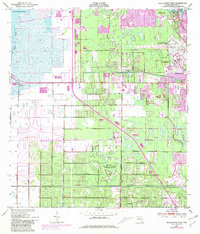
1949 Map of Melbourne West
USGS Topo · Published 1981About this map
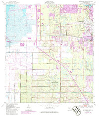
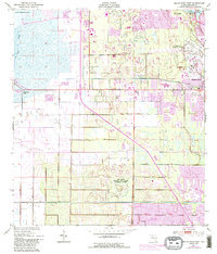
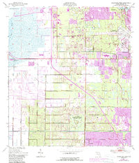
The St Johns River and Lake Washington dominate the western marshlands of this Florida coastal region, providing a stark contrast to the rapidly expanding urban corridor to the east. As seen in this mid-century survey with 1980 revisions, the landscape is defined by extensive water management features, including the Melbourne Tillman Canal and numerous segments of Spoil Bank. The eastern half shows significant development around Melbourne and Eau Gallie, supported by the Florida East Coast railway and the presence of the Air Force Eastern Test Range (Malabar Annex). Smaller communities such as Melbourne Village, June Park, and Palm Bay are clearly mapped, alongside local landmarks like the Melbourne Golf and Country Club and the Filtration Plant. This era reflects the integration of military facilities and civil infrastructure within the subtropical wetlands.
Find a feature on this map
23 named features on this map. Tap any name to fly to it.
Don’t see what you’re looking for? This feature index may not catch every label — zoom into the map to look around manually.
Map Details
Editions of this 1949 Melbourne West Map
8 editions found
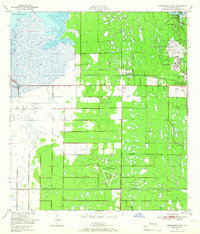
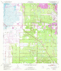
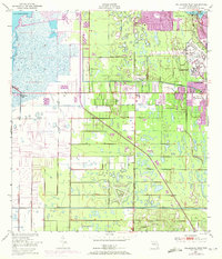
Other maps of this area

1949 · Melbourne West
USGS Topo · 1:24,000

1949 · Melbourne East
USGS Topo · 1:24,000

1949 · Eau Gallie
USGS Topo · 1:24,000

1949 · Grant
USGS Topo · 1:24,000

1949 · Tropic
USGS Topo · 1:24,000

1951 · Melbourne East
USGS Topo · 1:24,000

1951 · Eau Gallie
USGS Topo · 1:24,000

1951 · Melbourne West
USGS Topo · 1:24,000

1951 · Grant
USGS Topo · 1:24,000
1951 · Tropic
USGS Topo · 1:24,000