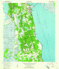
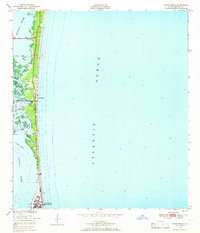
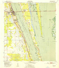
1949 Map of Courtenay
USGS Topo · Published 1971About this map
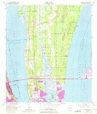
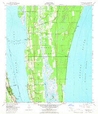
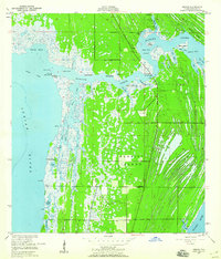
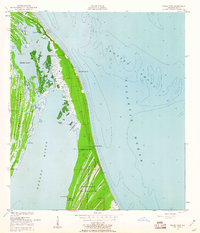
Merritt Island is the central focus of this 1949 topographic study, capturing the landscape just as the modern space age began to transform the Florida coast. While the northern reaches show the early footprint of the John F Kennedy Space Center (Nasa), the map preserves the traditional settlement patterns of Courtenay, Indianola, and Audubon. These communities are defined by their proximity to the Indian River and Banana River, with local life centered around landmarks like St Lukes Ch and the Bethel Cem.
Find a feature on this map
31 named features on this map. Tap any name to fly to it.
Don’t see what you’re looking for? This feature index may not catch every label — zoom into the map to look around manually.
Map Details
Editions of this 1949 Courtenay Map
3 editions found
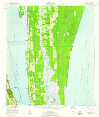
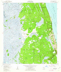
Other maps of this area
1949 · Orsino
USGS Topo · 1:24,000
1949 · False Cape
USGS Topo · 1:24,000
1949 · Titusville
USGS Topo · 1:24,000
1949 · Courtenay
USGS Topo · 1:24,000
1949 · Sharpes
USGS Topo · 1:24,000
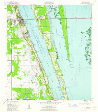
1949 · Cocoa
USGS Topo · 1:24,000
1949 · Cocoa Beach
USGS Topo · 1:24,000

1951 · False Cape
USGS Topo · 1:24,000
1951 · Cocoa
USGS Topo · 1:24,000

1951 · Courtenay
USGS Topo · 1:24,000