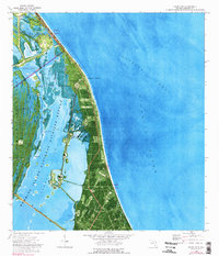
1976 Map of False Cape
USGS Topo · Published 1976About this map
The Launch Complex 39 National Historical Site anchors this coastal orthophotomap, showing the advanced aerospace infrastructure of the Kennedy Space Center and Cape Canaveral Air Force Station during the mid-1970s. Massive engineering works like the Crawlerway and the U.S. Government Railroad cut through the wetlands of Merritt Island, providing the heavy-lift transport necessary for Apollo-era operations. Surrounding the high-tech installations of Launch Complex 39A and Launch Complex 39B is the Merritt Island National Wildlife Refuge, where the Banana River and a network of named waterways like Bluebill Creek and Pintail Creek remain largely preserved. This intersection of natural sanctuary and cutting-edge spaceport is further detailed along the Atlantic Ocean shoreline at Titusville Beach and the distinctive elbow of the False Cape.
Find a feature on this map
37 named features on this map. Tap any name to fly to it.
Don’t see what you’re looking for? This feature index may not catch every label — zoom into the map to look around manually.
Map Details
Editions of this 1976 False Cape Map
2 editions found
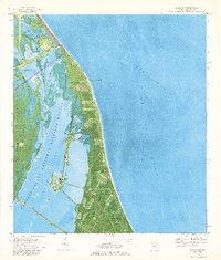
Other maps of this area

1949 · Orsino
USGS Topo · 1:24,000

1949 · False Cape
USGS Topo · 1:24,000

1949 · Courtenay
USGS Topo · 1:24,000

1949 · Wilson
USGS Topo · 1:24,000

1951 · False Cape
USGS Topo · 1:24,000

1951 · Courtenay
USGS Topo · 1:24,000

1951 · Orsino
USGS Topo · 1:24,000
1951 · Cape Canaveral
USGS Topo · 1:24,000

1952 · Wilson
USGS Topo · 1:24,000

1955 · Orlando
USGS Topo · 1:250,000