
1953 Map of Bithlo
USGS Topo · Published 1955About this map
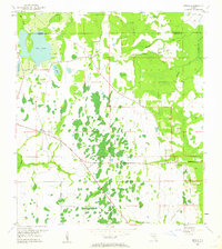
The eastern reaches of Orange Co meet the boundary of Seminole Co in this mid-century portrait of Central Florida's pine flatwoods and wetlands. The small settlement of Bithlo anchors the western side of the sheet, while the village of Christmas lies to the east, marked by its community landmarks like the Christmas Cem and First Missionary Ch. The landscape is defined by an intricate network of drainage and water, including the winding Econlockhatchee River and the wetlands surrounding Lake Pickett and Lake Louise.
Find a feature on this map
20 named features on this map. Tap any name to fly to it.
Don’t see what you’re looking for? This feature index may not catch every label — zoom into the map to look around manually.
Map Details
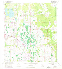
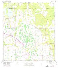
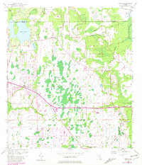
Editions of this 1953 Bithlo Map
5 editions found
Other maps of this area

1950 · Aurantia
USGS Topo · 1:24,000

1953 · Narcoossee NE
USGS Topo · 1:24,000

1953 · Geneva
USGS Topo · 1:24,000

1953 · Titusville SW
USGS Topo · 1:24,000

1953 · Oviedo SW
USGS Topo · 1:24,000

1953 · Lake Poinsett NW
USGS Topo · 1:24,000

1953 · Narcoossee NW
USGS Topo · 1:24,000

1955 · Orlando
USGS Topo · 1:250,000

1956 · Oviedo
USGS Topo · 1:24,000

1957 · Orlando
USGS Topo · 1:250,000