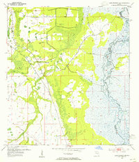
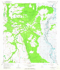
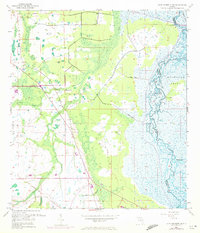
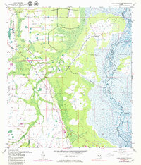
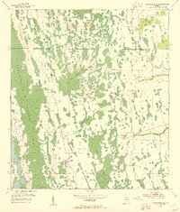
1953 Map of Lake Poinsett NW
USGS Topo · Published 1955About this map
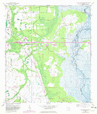
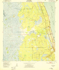
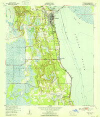
The St Johns River defines the eastern boundary of this mid-century landscape, where the marshy riverbanks meet the historic Delespine Grant. The terrain is shaped by a complex network of wetlands and seasonal drainages, including Second Creek, Jim Creek, and Sweetwater Branch. A notable human imprint on the land is the Old Railroad Grade in the southwest, indicating former industrial or timber transport routes through the Florida flatwoods. Scattered landmarks like Long Bluff, Possum Bluff, and a Flowing Well provide specific points of reference in an area primarily characterized by its hydrology and undeveloped reaches. The boundary between Orange and Brevard counties cuts through these wetlands, illustrating the natural obstacles faced by early surveyors and settlers in this part of the state.
Find a feature on this map
12 named features on this map. Tap any name to fly to it.
Don’t see what you’re looking for? This feature index may not catch every label — zoom into the map to look around manually.
Map Details
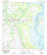
Editions of this 1953 Lake Poinsett NW Map
6 editions found
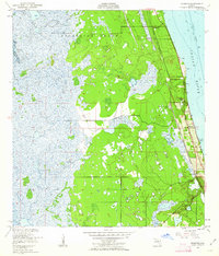
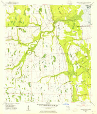
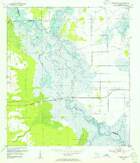
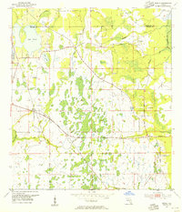
Other maps of this area
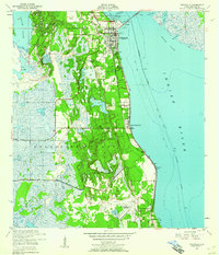
1949 · Titusville
USGS Topo · 1:24,000
1949 · Sharpes
USGS Topo · 1:24,000
1951 · Sharpes
USGS Topo · 1:24,000
1952 · Titusville
USGS Topo · 1:24,000
1953 · Lake Poinsett
USGS Topo · 1:24,000
1953 · Narcoossee NE
USGS Topo · 1:24,000
1953 · Narcoossee SE
USGS Topo · 1:24,000
1953 · Lake Poinsett SW
USGS Topo · 1:24,000
1953 · Titusville SW
USGS Topo · 1:24,000
1953 · Bithlo
USGS Topo · 1:24,000