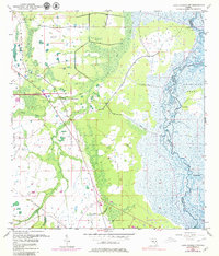
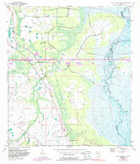
1953 Map of Lake Poinsett NW
USGS Topo · Published 1979About this map
The St Johns River defines the eastern landscape of this Florida interior, winding through a complex network of wetlands and channels. Much of this territory falls within the Delespine Grant, an area where traditional land lines were omitted due to insufficient historical survey data, highlighting the difficulty of mapping these low-lying marshlands. The landscape transitions from the riverine environment to the drier ridges of Long Bluff and Possum Bluff.
Find a feature on this map
12 named features on this map. Tap any name to fly to it.
Don’t see what you’re looking for? This feature index may not catch every label — zoom into the map to look around manually.
Map Details
Editions of this 1953 Lake Poinsett NW Map
6 editions found
Other maps of this area

1949 · Titusville
USGS Topo · 1:24,000

1949 · Sharpes
USGS Topo · 1:24,000

1951 · Sharpes
USGS Topo · 1:24,000

1952 · Titusville
USGS Topo · 1:24,000

1953 · Lake Poinsett
USGS Topo · 1:24,000

1953 · Narcoossee NE
USGS Topo · 1:24,000

1953 · Narcoossee SE
USGS Topo · 1:24,000

1953 · Lake Poinsett SW
USGS Topo · 1:24,000

1953 · Titusville SW
USGS Topo · 1:24,000

1953 · Lake Poinsett NW
USGS Topo · 1:24,000