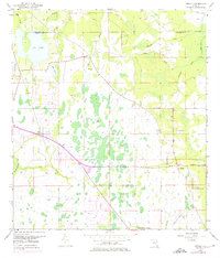
1953 Map of Bithlo
USGS Topo · Published 1975About this map
Bithlo and the settlement of Christmas anchor this central Florida landscape, surveyed during the early 1950s and updated with aerial data into the 1970s. The area is defined by its complex hydrology, with the Econlockhatchee River and numerous branches like Silcox Branch and Roberts Branch draining into marshy lowlands. Notable infrastructure of the mid-20th century includes the Cheney Highway and an intriguing Drag Strip located near the railway corridor.
Find a feature on this map
21 named features on this map. Tap any name to fly to it.
Don’t see what you’re looking for? This feature index may not catch every label — zoom into the map to look around manually.
Map Details
Editions of this 1953 Bithlo Map
5 editions found
Other maps of this area

1950 · Aurantia
USGS Topo · 1:24,000

1953 · Narcoossee NE
USGS Topo · 1:24,000

1953 · Geneva
USGS Topo · 1:24,000

1953 · Titusville SW
USGS Topo · 1:24,000

1953 · Oviedo SW
USGS Topo · 1:24,000

1953 · Lake Poinsett NW
USGS Topo · 1:24,000

1953 · Narcoossee NW
USGS Topo · 1:24,000

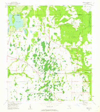
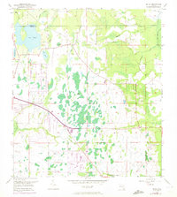
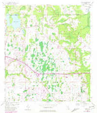
1953 · Bithlo
USGS Topo · 1:24,000

1955 · Orlando
USGS Topo · 1:250,000

1956 · Oviedo
USGS Topo · 1:24,000