
1956 Map of Oviedo
USGS Topo · Published 1957About this map
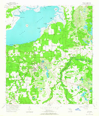
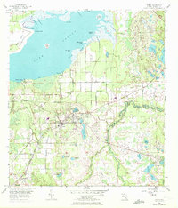
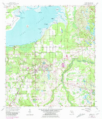
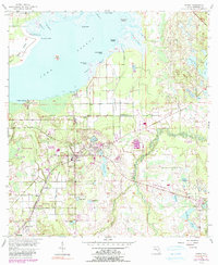
Oviedo serves as the hub of this mid-century Florida landscape, positioned at a critical junction of the Atlantic Coast Line and Seaboard Air Line railroads. The map reveals a region defined by its complex hydrology, dominated to the north by the expansive Lake Jessup and the winding course of the Econlockhatchee River to the east. The interior is dotted with numerous smaller lakes, including Lake Charm, Lake Rogers, and Lake Nixon, many surrounded by low-lying wetlands such as Black Hammock.
Find a feature on this map
57 named features on this map. Tap any name to fly to it.
Don’t see what you’re looking for? This feature index may not catch every label — zoom into the map to look around manually.
Map Details
Editions of this 1956 Oviedo Map
5 editions found
Other maps of this area

1949 · Osceola
USGS Topo · 1:24,000

1953 · Geneva
USGS Topo · 1:24,000

1953 · Oviedo SW
USGS Topo · 1:24,000

1953 · Bithlo
USGS Topo · 1:24,000

1955 · Orlando
USGS Topo · 1:250,000

1956 · Orlando East
USGS Topo · 1:24,000

1957 · Orlando
USGS Topo · 1:250,000

1958 · Orlando
USGS Topo · 1:250,000

1962 · Orlando
USGS Topo · 1:250,000

1962 · Casselberry
USGS Topo · 1:24,000