
1956 Map of Orlando East
USGS Topo · Published 1957About this map
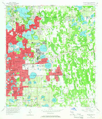
Central Florida's lake-studded landscape is heavily dominated by the sprawling presence of the Orlando Air Force Base, situated just east of the city's residential core. During the mid-1950s, the region was experiencing significant post-war growth, evident in the expansion of suburban neighborhoods like Winter Park and Azalea Park. The map captures a sophisticated educational and civic infrastructure, from the historic campus of Rollins College in the north to Boone High School further south. The transportation network is defined by the intersection of the Atlantic Coast Line and Seaboard Air Line railroads, which facilitated the movement of goods and people through this rapidly developing citrus and military hub. Notable local landmarks including Greenwood Cemetery, the Orlando Jr College, and Showalter Airpark reflect the maturing community's diverse social and economic needs during this era of transition.
Find a feature on this map
150 named features on this map. Tap any name to fly to it.
Don’t see what you’re looking for? This feature index may not catch every label — zoom into the map to look around manually.
Map Details
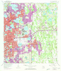
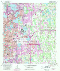
Editions of this 1956 Orlando East Map
4 editions found
Other maps of this area

1953 · Lake Jessamine
USGS Topo · 1:24,000

1953 · Pine Castle
USGS Topo · 1:24,000

1953 · Oviedo SW
USGS Topo · 1:24,000

1953 · Narcoossee NW
USGS Topo · 1:24,000

1955 · Orlando
USGS Topo · 1:250,000

1956 · Oviedo
USGS Topo · 1:24,000

1956 · Orlando West
USGS Topo · 1:24,000

1957 · Orlando
USGS Topo · 1:250,000

1958 · Orlando
USGS Topo · 1:250,000

1959 · Forest City
USGS Topo · 1:24,000