
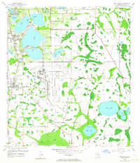
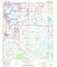
1953 Map of Pine Castle
USGS Topo · Published 1955About this map
Pinecastle Air Force Base dominates the central landscape of this mid-century Orange County survey, reflecting the area's Cold War era military expansion. The surrounding terrain is defined by a dense network of freshwater lakes and wetlands, from the large basins of Lake Conway and Lake Nona to the winding reaches of Boggy Creek. Residential development is concentrated in the established communities of Pine Castle and Belle Isle, while the southern reaches remain characterized by the Boggy Creek Swamp and isolated settlements like Flamingo.
Find a feature on this map
30 named features on this map. Tap any name to fly to it.
Don’t see what you’re looking for? This feature index may not catch every label — zoom into the map to look around manually.
Map Details
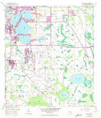
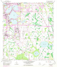
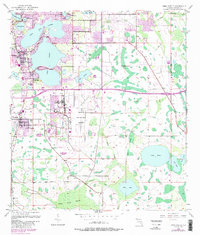
Editions of this 1953 Pine Castle Map
6 editions found
Other maps of this area

1953 · Lake Jessamine
USGS Topo · 1:24,000

1953 · St Cloud North
USGS Topo · 1:24,000

1953 · Narcoossee
USGS Topo · 1:24,000

1953 · Kissimmee
USGS Topo · 1:24,000

1953 · Oviedo SW
USGS Topo · 1:24,000

1953 · Narcoossee NW
USGS Topo · 1:24,000

1955 · Orlando
USGS Topo · 1:250,000

1956 · Orlando West
USGS Topo · 1:24,000

1956 · Orlando East
USGS Topo · 1:24,000

1957 · Orlando
USGS Topo · 1:250,000