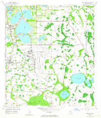
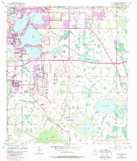
1953 Map of Pine Castle
USGS Topo · Published 1964About this map
Pinecastle Air Force Base dominates the central landscape of this early 1950s survey, marking a period of significant military presence and infrastructure development south of Orlando. The area is defined by an intricate network of freshwater lakes and wetlands, where established communities like Pine Castle and Belle Isle border the expansive waters of Lake Conway. To the south, the terrain becomes increasingly rural and hydrologically complex, characterized by Mare Prairie and the sprawling Boggy Creek Swamp. The Atlantic Coast Line railroad provides a primary transportation spine, passing through the settlement of Taft. This map captures the region before its later suburban transformation, preserving the location of smaller landmarks such as Lock Cem and the isolated settlement of Flamingo. The distribution of water bodies, including Lake Nona and Mud Lake, illustrates the natural drainage patterns that shaped early land use in Orange County.
Find a feature on this map
29 named features on this map. Tap any name to fly to it.
Don’t see what you’re looking for? This feature index may not catch every label — zoom into the map to look around manually.
Map Details
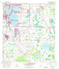
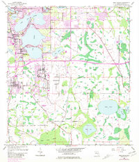
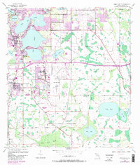
Editions of this 1953 Pine Castle Map
6 editions found
Other maps of this area

1953 · Lake Jessamine
USGS Topo · 1:24,000

1953 · St Cloud North
USGS Topo · 1:24,000

1953 · Narcoossee
USGS Topo · 1:24,000

1953 · Pine Castle
USGS Topo · 1:24,000

1953 · Kissimmee
USGS Topo · 1:24,000

1953 · Oviedo SW
USGS Topo · 1:24,000

1953 · Narcoossee NW
USGS Topo · 1:24,000

1955 · Orlando
USGS Topo · 1:250,000

1956 · Orlando West
USGS Topo · 1:24,000

1956 · Orlando East
USGS Topo · 1:24,000