
1953 Map of St Cloud North
USGS Topo · Published 1954About this map
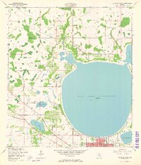
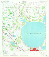
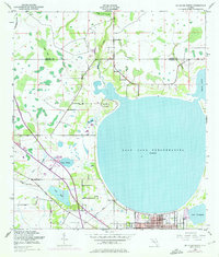
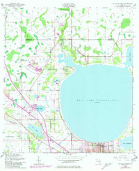
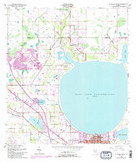
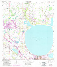
St Cloud sits at the southern edge of this 1950s survey, defined by its relationship to the expansive waters of East Lake Tohopekaliga. The landscape is a complex network of wetlands and drainage, featuring the dense Boggy Creek Swamp and numerous named waterways like Fennel Slough and the St Cloud Canal. This era shows the transition of central Florida from a purely rural interior toward more organized settlement, evident in the grid of St Cloud and the presence of community markers like Lock Haven Ch. Local history is anchored by family-named landmarks and resting places, including Mt Carmel Cem, Barber Cem, and Partin Settlement Road, which indicate the early homesteading patterns and lineage of Osceola County before the region's later twentieth-century transformations.
Find a feature on this map
20 named features on this map. Tap any name to fly to it.
Don’t see what you’re looking for? This feature index may not catch every label — zoom into the map to look around manually.
Map Details
Editions of this 1953 St Cloud North Map
7 editions found
Other maps of this area

1953 · Lake Jessamine
USGS Topo · 1:24,000

1953 · Narcoossee
USGS Topo · 1:24,000

1953 · St Cloud South
USGS Topo · 1:24,000

1953 · Lake Tohopekaliga
USGS Topo · 1:24,000

1953 · Ashton
USGS Topo · 1:24,000

1953 · Pine Castle
USGS Topo · 1:24,000

1953 · Kissimmee
USGS Topo · 1:24,000

1953 · Narcoossee NW
USGS Topo · 1:24,000

1955 · Orlando
USGS Topo · 1:250,000

1957 · Orlando
USGS Topo · 1:250,000