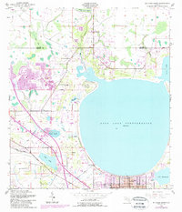
1953 Map of St Cloud North
USGS Topo · Published 1987About this map
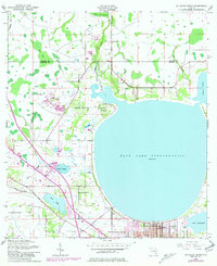
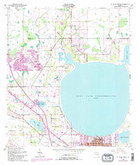
East Lake Tohopekaliga dominates this landscape, serving as the central geographic anchor for the growing community of St Cloud. The map documents a period of significant infrastructural expansion in Central Florida, most notably the path of the Florida Turnpike cutting through the western portion of the quadrangle. This modern thoroughfare contrasts with the established rural character of the land, where cemeteries like Mt Carmel Cem and Barber Cem sit near natural features like Hillard Island and Ox Pond.
Find a feature on this map
25 named features on this map. Tap any name to fly to it.
Don’t see what you’re looking for? This feature index may not catch every label — zoom into the map to look around manually.
Map Details
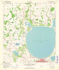
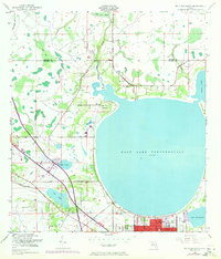
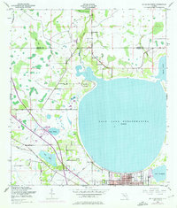
Editions of this 1953 St Cloud North Map
7 editions found
Other maps of this area

1953 · Lake Jessamine
USGS Topo · 1:24,000

1953 · St Cloud North
USGS Topo · 1:24,000

1953 · Narcoossee
USGS Topo · 1:24,000

1953 · St Cloud South
USGS Topo · 1:24,000

1953 · Lake Tohopekaliga
USGS Topo · 1:24,000

1953 · Ashton
USGS Topo · 1:24,000

1953 · Pine Castle
USGS Topo · 1:24,000

1953 · Kissimmee
USGS Topo · 1:24,000

1953 · Narcoossee NW
USGS Topo · 1:24,000

1955 · Orlando
USGS Topo · 1:250,000