
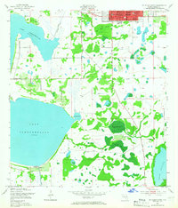
1953 Map of St Cloud South
USGS Topo · Published 1954About this map
The sprawling eastern shoreline of Lake Tohopekaliga dominates this central Florida landscape, revealing a period when the region's cattle and citrus identity remained deeply tied to its water management systems. The grid of St Cloud is visible in the upper portion of the map, featuring the West Side Sch, the local High Sch, and the Mt Peace Cem. South of the main settlement, the land is defined by a series of bays and sloughs, including Gator Bay and the winding Peg Horn Slough.
Find a feature on this map
25 named features on this map. Tap any name to fly to it.
Don’t see what you’re looking for? This feature index may not catch every label — zoom into the map to look around manually.
Map Details
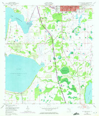
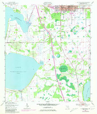
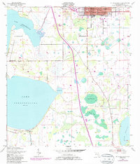
Editions of this 1953 St Cloud South Map
5 editions found
Other maps of this area

1953 · Cypress Lake
USGS Topo · 1:24,000

1953 · Lake Hatchineha
USGS Topo · 1:24,000

1953 · St Cloud North
USGS Topo · 1:24,000

1953 · Narcoossee
USGS Topo · 1:24,000

1953 · Lake Tohopekaliga
USGS Topo · 1:24,000

1953 · Holopaw SW
USGS Topo · 1:24,000

1953 · Ashton
USGS Topo · 1:24,000

1953 · Kissimmee
USGS Topo · 1:24,000

1955 · Orlando
USGS Topo · 1:250,000

1957 · Orlando
USGS Topo · 1:250,000