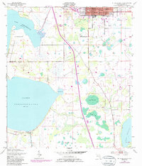
1953 Map of St Cloud South
USGS Topo · Published 1987About this map
The expanding municipal grid of St Cloud anchors this mid-century survey, showing the community's interface with the vast wetlands and shorelines of the Kissimmee River system. Local infrastructure of the era is clearly marked, including the West Side Sch, the St Cloud Airfield, and Mt Peace Cem. The landscape is defined by its water management, featuring the St Cloud Canal and numerous marshy basins such as Peg Horn Slough and Fanny Bass Pond.
Find a feature on this map
29 named features on this map. Tap any name to fly to it.
Don’t see what you’re looking for? This feature index may not catch every label — zoom into the map to look around manually.
Map Details
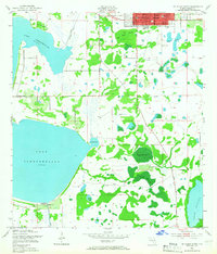
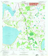
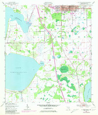
Editions of this 1953 St Cloud South Map
5 editions found
Other maps of this area

1953 · Cypress Lake
USGS Topo · 1:24,000

1953 · Lake Hatchineha
USGS Topo · 1:24,000

1953 · St Cloud North
USGS Topo · 1:24,000

1953 · Narcoossee
USGS Topo · 1:24,000

1953 · St Cloud South
USGS Topo · 1:24,000

1953 · Lake Tohopekaliga
USGS Topo · 1:24,000

1953 · Holopaw SW
USGS Topo · 1:24,000

1953 · Ashton
USGS Topo · 1:24,000

1953 · Kissimmee
USGS Topo · 1:24,000

1955 · Orlando
USGS Topo · 1:250,000