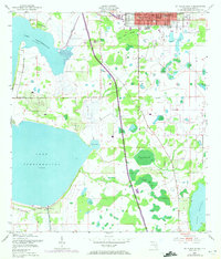
1953 Map of St Cloud South
USGS Topo · Published 1972About this map
St. Cloud serves as the primary municipal anchor at the northern edge of this Osceola County landscape, characterized by its grid of streets and community landmarks like West Side Sch and City Hall. The map reveals an era of mid-century infrastructure expansion, most notably where Floridas Turnpike Toll Road cuts a straight path through the wetlands and hammocks south of the city. The relationship between the growing town and its water resources is evident in the managed drainage of the St Cloud Canal and the South Port Canal.
Find a feature on this map
26 named features on this map. Tap any name to fly to it.
Don’t see what you’re looking for? This feature index may not catch every label — zoom into the map to look around manually.
Map Details
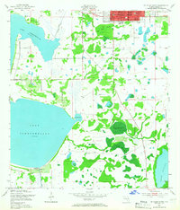
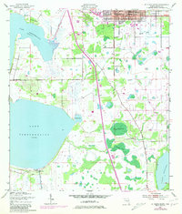
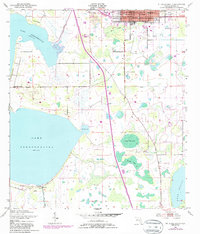
Editions of this 1953 St Cloud South Map
5 editions found
Other maps of this area

1953 · Cypress Lake
USGS Topo · 1:24,000

1953 · Lake Hatchineha
USGS Topo · 1:24,000

1953 · St Cloud North
USGS Topo · 1:24,000

1953 · Narcoossee
USGS Topo · 1:24,000

1953 · St Cloud South
USGS Topo · 1:24,000

1953 · Lake Tohopekaliga
USGS Topo · 1:24,000

1953 · Holopaw SW
USGS Topo · 1:24,000

1953 · Ashton
USGS Topo · 1:24,000

1953 · Kissimmee
USGS Topo · 1:24,000

1955 · Orlando
USGS Topo · 1:250,000