1953 Map of Narcoossee
USGS Topo · Published 1954About this map
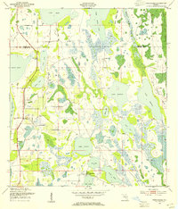
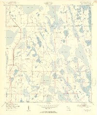
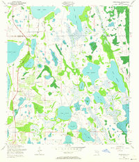
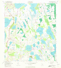
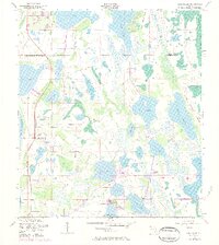
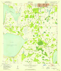
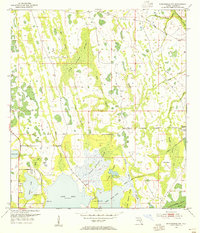
Narcoossee and the surrounding lake country of Osceola County are defined by a complex network of freshwater basins and wetlands in this early 1950s survey. The settlement pattern shows small clusters like Runnymede, New Eden, and Pine Grove situated on the higher ground between the expansive waters of Lake Hart and Lake Myrtle. Community life is anchored by landmarks such as St Luke Ch and the Narcoossee Cem. The landscape is a hydraulic puzzle, featuring numerous smaller bodies of water like Hinden Lake, Bullock Lake, and Coon Lake interspersed with marshes and sloughs. This map details the area before significant modern drainage and development, showing the original shorelines of East Lake Tohopekaliga and the wooded sections of North Roberts Island near the Orange County border.
Find a feature on this map
27 named features on this map. Tap any name to fly to it.
Don’t see what you’re looking for? This feature index may not catch every label — zoom into the map to look around manually.
Map Details
Editions of this 1953 Narcoossee Map
5 editions found
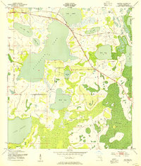
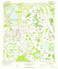
Other maps of this area
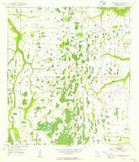
1953 · Narcoossee NE
USGS Topo · 1:24,000
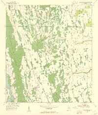
1953 · Narcoossee SE
USGS Topo · 1:24,000
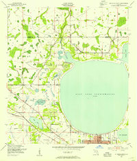
1953 · St Cloud North
USGS Topo · 1:24,000
1953 · St Cloud South
USGS Topo · 1:24,000
1953 · Ashton
USGS Topo · 1:24,000
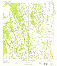
1953 · Holopaw
USGS Topo · 1:24,000
1953 · Pine Castle
USGS Topo · 1:24,000
1953 · Narcoossee NW
USGS Topo · 1:24,000

1955 · Orlando
USGS Topo · 1:250,000

1957 · Orlando
USGS Topo · 1:250,000