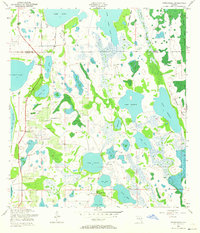
1953 Map of Narcoossee
USGS Topo · Published 1964About this map
Narcoossee and its neighboring settlements sit amidst an intricate network of freshwater lakes and cypress marshes on the Orange and Osceola County line. This early 1950s landscape is defined by its hydrology, where small communities like Runnymede and New Eden are bounded by significant water bodies such as Lake Center, Lake Myrtle, and the expansive East Lake Tohopekaliga. The map reveals a rural topography where local life centered around points like St Luke Ch and the Narcoossee Cem.
Find a feature on this map
28 named features on this map. Tap any name to fly to it.
Don’t see what you’re looking for? This feature index may not catch every label — zoom into the map to look around manually.
Map Details
Editions of this 1953 Narcoossee Map
5 editions found
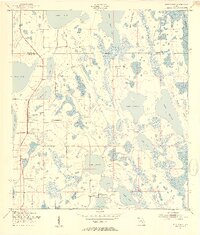
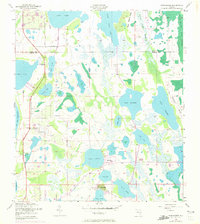
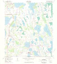
Other maps of this area

1953 · Narcoossee NE
USGS Topo · 1:24,000

1953 · Narcoossee SE
USGS Topo · 1:24,000

1953 · St Cloud North
USGS Topo · 1:24,000

1953 · Narcoossee
USGS Topo · 1:24,000

1953 · St Cloud South
USGS Topo · 1:24,000

1953 · Ashton
USGS Topo · 1:24,000

1953 · Holopaw
USGS Topo · 1:24,000

1953 · Pine Castle
USGS Topo · 1:24,000

1953 · Narcoossee NW
USGS Topo · 1:24,000

1955 · Orlando
USGS Topo · 1:250,000