Old Maps of Orlando, Florida
Explore 57 old maps of Orlando, spanning from 1953 to today. These high-resolution historic maps reveal how streets, neighborhoods, landmarks, and natural features evolved over time — perfect for genealogy, metal detecting, research, and local history exploration.
What you can do with these maps:
- See how Orlando changed over time: Compare historical maps to modern-day views to trace roads, homesites, rail lines & more.
- View detailed metadata: Each map includes creators, publishers, year, scale, and archive source.
- Overlay maps with satellite & LiDAR: Visualize the past alongside modern tools to explore terrain & human change.
- Trusted historical sources: Maps sourced from the USGS, Library of Congress, and other archives.
- Access maps your way: View online, download high-res files, or order prints for personal or research use.
Start exploring old maps of Orlando to uncover forgotten places, hidden landmarks, and the deep history beneath your feet.
Orlando, FL maps
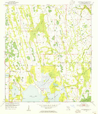
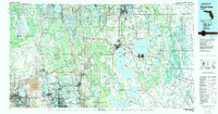
(57)- 1953 Map of Lake Jessamine, 1954 Print
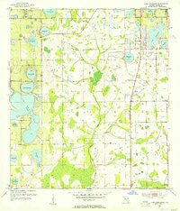 1953 Lake Jessamine1954 Print · USGSCovers Orlando, including Oak Ridge, Southchase, and other nearby areas5 unique versions available
 - 1953 Map of St Cloud North, 1954 Print
 1953 St Cloud North1954 Print · USGSOsceola County and the northern reaches of the lake country are mapped here in the early fifties. Genealogists and researchers can trace the vicinity of St Cloud and find rural markers like Mt Carmel Cem, Barber Cem, and Lock Haven Ch.7 unique versions available
 - 1953 Map of Narcoossee, 1954 Print
 1953 Narcoossee1954 Print · USGSOsceola County was a land of interconnected lakes and small interior settlements in the early fifties. Researchers can trace the old footprints of Narcoossee and Runnymede or locate family landmarks like St Luke Ch and the Windmill.5 unique versions available
 - 1953 Map of Pine Castle, 1955 Print
 1953 Pine Castle1955 Print · USGSOrange County was undergoing a military and residential transformation in the early fifties. Local historians can trace the early footprint of Pinecastle Air Force Base and find established communities like Pine Castle and Taft along the Atlantic Coast Line.6 unique versions available
 - 1953 Map of Narcoossee NW, 1955 Print
 1953 Narcoossee NW1955 Print · USGSOrange County in the early 1950s remained a landscape of vast wetlands and remote ranches. Genealogists and local historians can trace early water management via the Disston Canal and locate the former Old Railroad Grade near Magnolia Ranch.4 unique versions available
 - 1955 Map of Orlando, 1969 Print
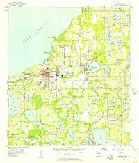
 1955 Orlando1969 Print · USGSCentral Florida was entering the space age in the mid-fifties, balancing its citrus heritage with new military and aerospace frontiers. You can trace early developments at Kennedy Space Center or locate interior settlements like Eatonville and Pine Castle.3 unique versions available
 - 1956 Map of Winter Garden, 1957 Print
 1956 Winter Garden1957 Print · USGSThe Florida citrus belt transitions from rail-side industry to lakeside settlement during the mid-1950s. Genealogists and local researchers can locate family sites near Harlem Heights, Beulah, and schools like Drew Jr High Sch.5 unique versions available
 - 1956 Map of Orlando West, 1957 Print
 1956 Orlando West1957 Print · USGSWestern Orlando and its surrounding lake country are shown in the mid-fifties during a decade of rapid citrus and residential growth. Genealogists can trace early neighborhood footprints and local landmarks like Eatonville, Washington Park Cem, and Orlovista.5 unique versions available
 - 1956 Map of Orlando East, 1957 Print
 1956 Orlando East1957 Print · USGSCentral Florida underwent rapid suburbanization in the mid-fifties as military and residential hubs expanded around the lakes. Trace early neighborhoods and schools like Rollins College, Orlando Air Force Base, and Azalea Park.4 unique versions available
 - 1957 Map of Orlando
 1957 Orlando1957 Print · USGSCovers Orlando, including Palm Bay, Lakeland, and other nearby areas
 - 1958 Map of Orlando
 1958 Orlando1958 Print · USGSCentral Florida was a landscape of citrus, rail, and emerging aerospace technology during the late fifties. Researchers can trace the early footprints of Cape Canaveral and Patrick Air Force Base or locate inland citrus and rail hubs like Sanford and Lakeland.
 - 1962 Map of Orlando
 1962 Orlando1962 Print · USGSCentral Florida was transformed by aerospace and citrus at the start of the sixties. Genealogists and historians can trace old community footprints from Eau Gallie to Leesburg, alongside landmarks like McCoy AFB and the winding Econlockhatchee River.
 - 1979 Map of Orlando, 1980 Print
 1979 Orlando1980 Print · USGSCentral Florida's lake country and growing urban corridors are captured here just before the decade's end. Genealogists and historians can trace the transition from citrus rail towns like Winter Garden to the suburban expansion along I-4 and Florida's Turnpike.3 unique versions available
 - 1979 Map of Kissimmee, 1980 Print
 1979 Kissimmee1980 Print · USGSCentral Florida entered a period of explosive growth in the late seventies as theme parks and aviation transformed the landscape. Researchers can trace the legacy of citrus and rail in Haines City and Winter Haven, or locate old lakeside settlements like Narcoossee and Pine Castle.
 - 1994 Map of Orlando East, 2000 Print
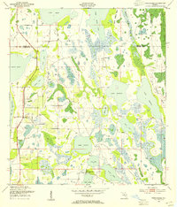
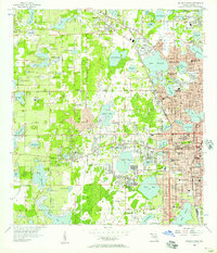
 1994 Orlando East2000 Print · USGSOrlando and Winter Park at the end of the century are depicted here as a thriving network of lakefront neighborhoods and major institutional campuses. Researchers can trace the layout of the Orlando Naval Training Center, find local schools like Lakemont Sch, or locate the historic Greenwood Cemetery.
 - 1995 Map of Orlando West, 2000 Print
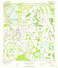
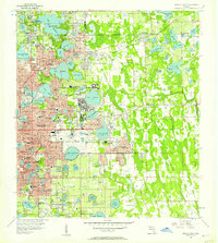
 1995 Orlando West2000 Print · USGSWestern Orlando and the historic town of Eatonville are shown during a period of significant growth in the mid-nineties. Genealogists and local historians can trace neighborhood development near Washington Park Cem, St Andrews Ch, and the landmark Tangerine Bowl.
 - 2012 Map of Pine Castle, 2012 Print
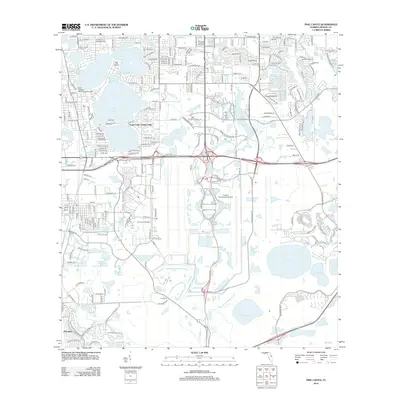 2012 Pine Castle2012 Print · USGSCovers Orlando, including Meadow Woods, Pine Castle, and other nearby areas
 - 2012 Map of Narcoossee NW, 2012 Print
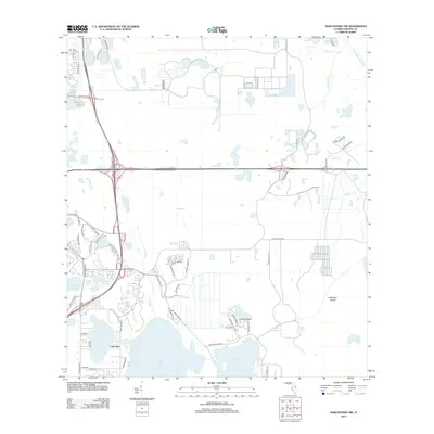 2012 Narcoossee NW2012 Print · USGSCovers Orlando, including Orange County, United States, and other nearby areas
 - 2012 Map of Narcoossee, 2012 Print
 2012 Narcoossee2012 Print · USGSCovers Orlando, including Pine Grove, New Eden, and other nearby areas
 - 2012 Map of Saint Cloud North, 2012 Print
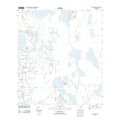
 2012 Saint Cloud North2012 Print · USGSCovers Orlando, including Kissimmee, Meadow Woods, and other nearby areas
 - 2012 Map of Orlando East, 2012 Print
 2012 Orlando East2012 Print · USGSCovers Orlando, including Winter Park, Conway, and other nearby areas
 - 2012 Map of Orlando West, 2012 Print
 2012 Orlando West2012 Print · USGSCovers Orlando, including Orlo Vista, Eatonville, and other nearby areas
 - 2012 Map of Lake Jessamine, 2012 Print
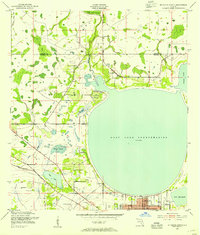
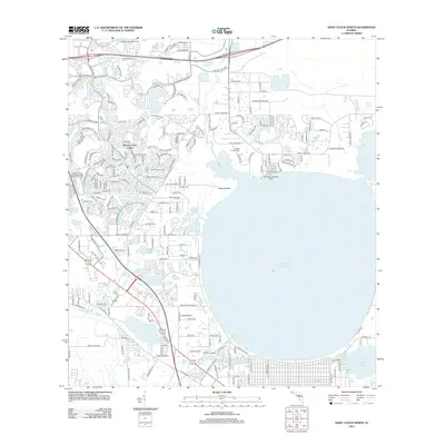
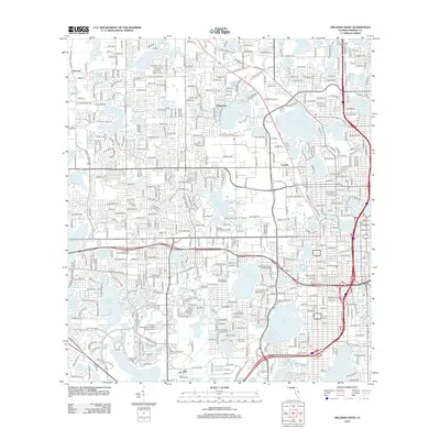
 2012 Lake Jessamine2012 Print · USGSCovers Orlando, including Oak Ridge, Southchase, and other nearby areas
 - 2012 Map of Winter Garden, 2012 Print
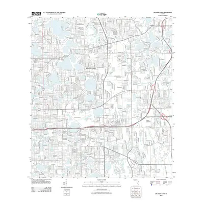
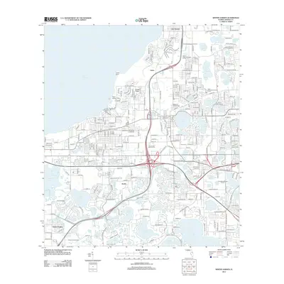 2012 Winter Garden2012 Print · USGSCovers Orlando, including Ocoee, Winter Garden, and other nearby areas
 - 2015 Map of Orlando West, 2015 Print
 2015 Orlando West2015 Print · USGSCovers Orlando, including Orlo Vista, Eatonville, and other nearby areas
Showing maps 1-25 of 57
Top cities near Orlando
- Alafaya historical maps
- Kissimmee historical maps
- Kissimmee historical maps
- Kissimmee historical maps
- Kissimmee historical maps
- Ocoee historical maps
See more
Top neighborhoods of Orlando
- MetroWest historical maps
- Vista East historical maps
- East Park historical maps
- Lake Nona historical maps
- Vista Lakes historical maps
- Parramore historical maps
See more
Frequently asked questions
- What are the different types of historical maps available for Orlando?
- What is the oldest map of Orlando?
- Where can I purchase historical maps of Orlando for my home or office?
- Where can I download high-res historical maps of Orlando?
- Are there historical topographic maps available for Orlando?
- Is there historical aerial imagery available for Orlando?
- Where are historical maps of Orlando sourced from?