2000s (21st Century) Maps of Orlando, Florida
Explore 41 historic maps of Orlando from the 2000s (21st Century). These maps offer a rare glimpse into what life looked like during the 2000s — showing old roads, neighborhoods, homes, and landmarks that have changed or disappeared over time.
Whether you're researching your family's past, planning a metal detecting trip, or studying how Orlando's landscape evolved across the 2000s, these high-resolution maps are a powerful tool for exploring the history of this region.
- Focus on a specific era: All maps on this page are from the 2000s, giving you a focused view of this time period.
- See what’s changed: Compare century-old streets, trails, and buildings to today's modern landscape using overlays and satellite layers.
- Research with precision: Use these maps for genealogy, historical research, land use analysis, or educational projects.
- View, download, or print: Maps are fully viewable online in high resolution, and can be downloaded or printed for your own records.
Start exploring Orlando's history through authentic maps from the 2000s. This is your window into the past.
Orlando, FL maps
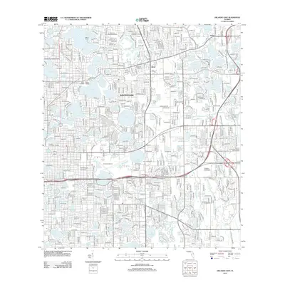
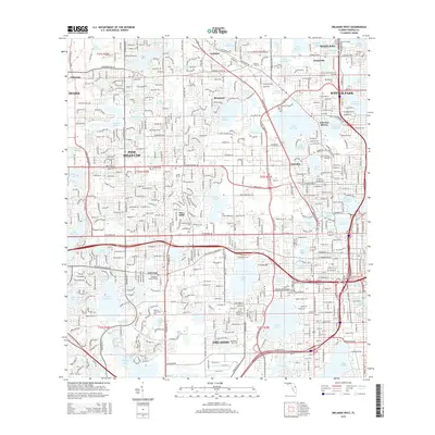
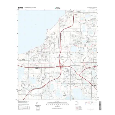
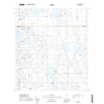
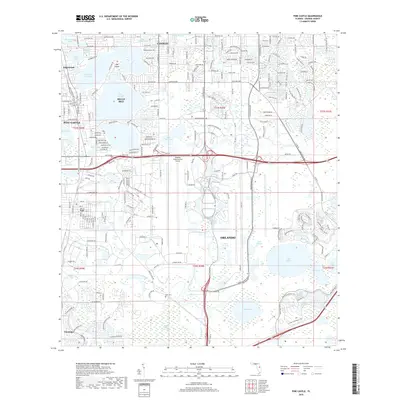
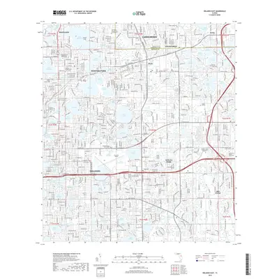
(41)- 2012 Map of Pine Castle, 2012 Print
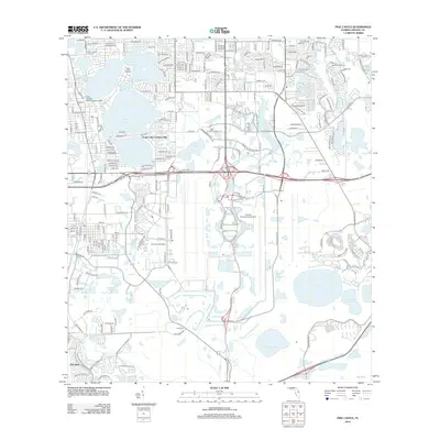 2012 Pine Castle2012 Print · USGSCovers Orlando, including Meadow Woods, Pine Castle, and other nearby areas
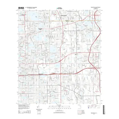
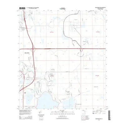
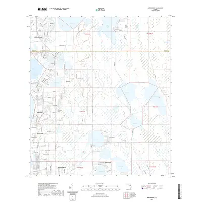
 - 2012 Map of Narcoossee NW, 2012 Print
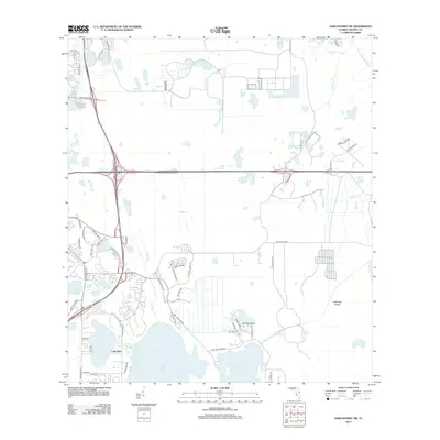 2012 Narcoossee NW2012 Print · USGSCovers Orlando, including Orange County, United States, and other nearby areas
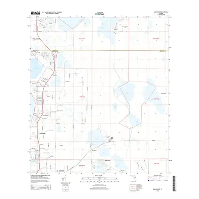
 - 2012 Map of Narcoossee, 2012 Print
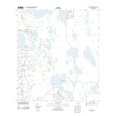 2012 Narcoossee2012 Print · USGSCovers Orlando, including Pine Grove, New Eden, and other nearby areas
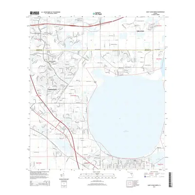
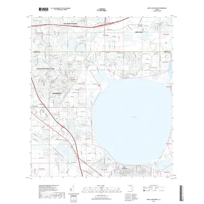
 - 2012 Map of Saint Cloud North, 2012 Print
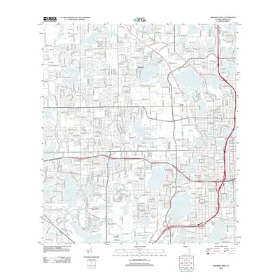
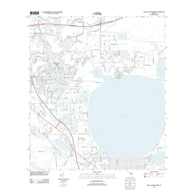 2012 Saint Cloud North2012 Print · USGSCovers Orlando, including Kissimmee, Meadow Woods, and other nearby areas
 - 2012 Map of Orlando East, 2012 Print
 2012 Orlando East2012 Print · USGSCovers Orlando, including Winter Park, Conway, and other nearby areas
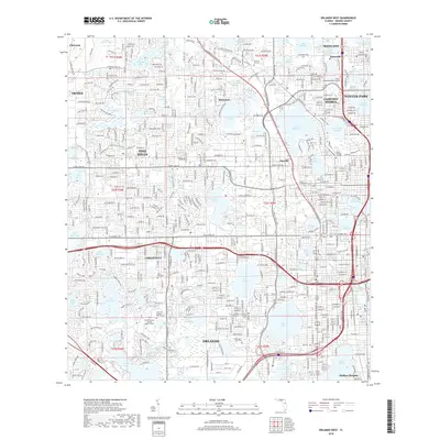
 - 2012 Map of Orlando West, 2012 Print
 2012 Orlando West2012 Print · USGSCovers Orlando, including Orlo Vista, Eatonville, and other nearby areas
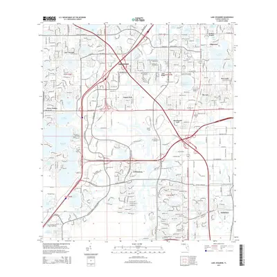
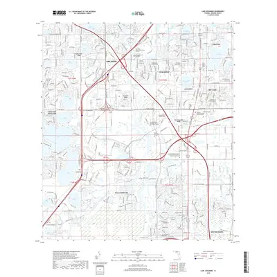
 - 2012 Map of Lake Jessamine, 2012 Print
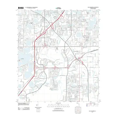 2012 Lake Jessamine2012 Print · USGSCovers Orlando, including Oak Ridge, Southchase, and other nearby areas
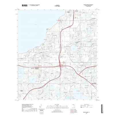
 - 2012 Map of Winter Garden, 2012 Print
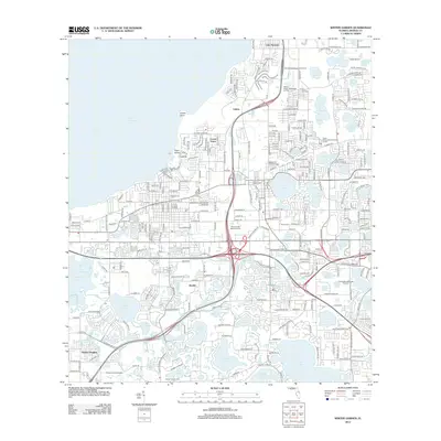 2012 Winter Garden2012 Print · USGSCovers Orlando, including Ocoee, Winter Garden, and other nearby areas
 - 2015 Map of Orlando West, 2015 Print
 2015 Orlando West2015 Print · USGSCovers Orlando, including Orlo Vista, Eatonville, and other nearby areas
 - 2015 Map of Saint Cloud North, 2015 Print
 2015 Saint Cloud North2015 Print · USGSCovers Orlando, including Kissimmee, Meadow Woods, and other nearby areas
 - 2015 Map of Lake Jessamine, 2015 Print
 2015 Lake Jessamine2015 Print · USGSCovers Orlando, including Oak Ridge, Southchase, and other nearby areas
 - 2015 Map of Orlando East, 2015 Print
 2015 Orlando East2015 Print · USGSCovers Orlando, including Winter Park, Conway, and other nearby areas
 - 2015 Map of Pine Castle, 2015 Print
 2015 Pine Castle2015 Print · USGSCovers Orlando, including Meadow Woods, Pine Castle, and other nearby areas
 - 2015 Map of Winter Garden, 2015 Print
 2015 Winter Garden2015 Print · USGSCovers Orlando, including Ocoee, Winter Garden, and other nearby areas
 - 2015 Map of Narcoossee NW, 2015 Print
 2015 Narcoossee NW2015 Print · USGSCovers Orlando, including Orange County, United States, and other nearby areas
 - 2015 Map of Narcoossee, 2015 Print
 2015 Narcoossee2015 Print · USGSCovers Orlando, including Pine Grove, New Eden, and other nearby areas
 - 2018 Map of Narcoossee NW, 2018 Print
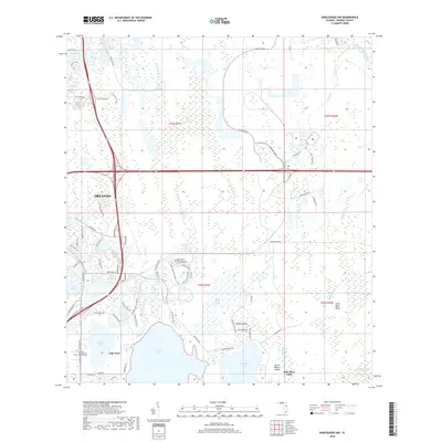 2018 Narcoossee NW2018 Print · USGSCovers Orlando, including Orange County, United States, and other nearby areas
 - 2018 Map of Narcoossee, 2018 Print
 2018 Narcoossee2018 Print · USGSCovers Orlando, including Pine Grove, New Eden, and other nearby areas
 - 2018 Map of Saint Cloud North, 2018 Print
 2018 Saint Cloud North2018 Print · USGSCovers Orlando, including Kissimmee, Meadow Woods, and other nearby areas
 - 2018 Map of Pine Castle, 2018 Print
 2018 Pine Castle2018 Print · USGSCovers Orlando, including Meadow Woods, Pine Castle, and other nearby areas
 - 2018 Map of Winter Garden, 2018 Print
 2018 Winter Garden2018 Print · USGSCovers Orlando, including Ocoee, Winter Garden, and other nearby areas
 - 2018 Map of Orlando East, 2018 Print
 2018 Orlando East2018 Print · USGSCovers Orlando, including Winter Park, Conway, and other nearby areas
 - 2018 Map of Lake Jessamine, 2018 Print
 2018 Lake Jessamine2018 Print · USGSCovers Orlando, including Oak Ridge, Southchase, and other nearby areas
 - 2018 Map of Orlando West, 2018 Print
 2018 Orlando West2018 Print · USGSCovers Orlando, including Orlo Vista, Eatonville, and other nearby areas
 - 2021 Map of Narcoossee, 2021 Print
 2021 Narcoossee2021 Print · USGSCovers Orlando, including Pine Grove, New Eden, and other nearby areas
Showing maps 1-25 of 41
Top cities near Orlando
- Alafaya historical maps
- Kissimmee historical maps
- Kissimmee historical maps
- Kissimmee historical maps
- Kissimmee historical maps
- Ocoee historical maps
See more
Top neighborhoods of Orlando
- MetroWest historical maps
- Vista East historical maps
- East Park historical maps
- Lake Nona historical maps
- Vista Lakes historical maps
- Parramore historical maps
See more
Frequently asked questions
- What are the different types of historical maps available for Orlando?
- What is the oldest map of Orlando?
- Where can I purchase historical maps of Orlando for my home or office?
- Where can I download high-res historical maps of Orlando?
- Are there historical topographic maps available for Orlando?
- Is there historical aerial imagery available for Orlando?
- Where are historical maps of Orlando sourced from?