
1953 Map of Narcoossee NW
USGS Topo · Published 1955About this map
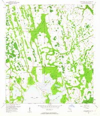
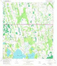
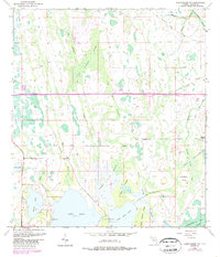
Wide Cypress Swamp and a complex network of wetlands dominate this central Florida landscape in the early 1950s. The region is defined by its transition from deep swamp and marshland to open water, anchored by the expansive Lake Hart and Lake Mary Jane. Drainage and land management are evident through the Disston Canal, which cuts through the island-dotted terrain near Crosby Island and Roberts Island.
Find a feature on this map
25 named features on this map. Tap any name to fly to it.
Don’t see what you’re looking for? This feature index may not catch every label — zoom into the map to look around manually.
Map Details
Editions of this 1953 Narcoossee NW Map
4 editions found
Other maps of this area

1953 · Narcoossee NE
USGS Topo · 1:24,000

1953 · Narcoossee SE
USGS Topo · 1:24,000

1953 · St Cloud North
USGS Topo · 1:24,000

1953 · Narcoossee
USGS Topo · 1:24,000

1953 · Pine Castle
USGS Topo · 1:24,000

1953 · Oviedo SW
USGS Topo · 1:24,000

1953 · Bithlo
USGS Topo · 1:24,000

1955 · Orlando
USGS Topo · 1:250,000

1956 · Orlando East
USGS Topo · 1:24,000

1957 · Orlando
USGS Topo · 1:250,000