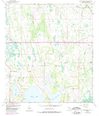
1953 Map of Narcoossee NW
USGS Topo · Published 1987About this map
Wide Cypress Swamp and a network of wetlands dominate this Central Florida landscape, illustrating the intricate hydrology of Orange County before widespread suburban expansion. The survey captures the area at a transition point where natural drainage like Boggy Branch and Turkey Creek meets engineered features such as the Disston Canal and the Spoil Bank. The southern portion of the sheet is anchored by the large open waters of Lake Hart and Lake Mary Jane, with Crosby Island rising from the surrounding marsh. Evidence of early infrastructure and settlement appears through the Old Railroad Grade and Magnolia Ranch, while 1980 photorevisions highlight the introduction of the Bee Line Expressway (Toll Road) slicing through the cypress stands, marking the shift toward modern regional connectivity.
Find a feature on this map
33 named features on this map. Tap any name to fly to it.
Don’t see what you’re looking for? This feature index may not catch every label — zoom into the map to look around manually.
Map Details
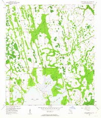
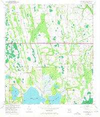
Editions of this 1953 Narcoossee NW Map
4 editions found
Other maps of this area

1953 · Narcoossee NE
USGS Topo · 1:24,000

1953 · Narcoossee SE
USGS Topo · 1:24,000

1953 · St Cloud North
USGS Topo · 1:24,000

1953 · Narcoossee
USGS Topo · 1:24,000

1953 · Pine Castle
USGS Topo · 1:24,000

1953 · Oviedo SW
USGS Topo · 1:24,000

1953 · Narcoossee NW
USGS Topo · 1:24,000

1953 · Bithlo
USGS Topo · 1:24,000

1955 · Orlando
USGS Topo · 1:250,000

1956 · Orlando East
USGS Topo · 1:24,000