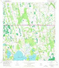
1953 Map of Narcoossee NW
USGS Topo · Published 1971About this map
Lake Hart and Lake Mary Jane dominate the southern portion of this landscape, revealing a hydrologic system of large freshwater basins connected by the Disston Canal. The 1970 revisions, shown in purple, highlight the arrival of the Bee Line Expressway Toll Road cutting east-to-west through the center of the sheet, signaling the transition from rural agricultural land to a corridor of modern infrastructure.
Find a feature on this map
28 named features on this map. Tap any name to fly to it.
Don’t see what you’re looking for? This feature index may not catch every label — zoom into the map to look around manually.
Map Details
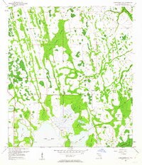
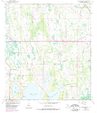
Editions of this 1953 Narcoossee NW Map
4 editions found
Other maps of this area

1953 · Narcoossee NE
USGS Topo · 1:24,000

1953 · Narcoossee SE
USGS Topo · 1:24,000

1953 · St Cloud North
USGS Topo · 1:24,000

1953 · Narcoossee
USGS Topo · 1:24,000

1953 · Pine Castle
USGS Topo · 1:24,000

1953 · Oviedo SW
USGS Topo · 1:24,000

1953 · Narcoossee NW
USGS Topo · 1:24,000

1953 · Bithlo
USGS Topo · 1:24,000

1955 · Orlando
USGS Topo · 1:250,000

1956 · Orlando East
USGS Topo · 1:24,000