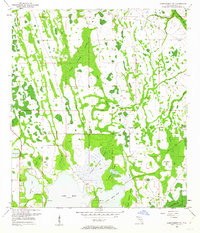
1953 Map of Narcoossee NW
USGS Topo · Published 1962About this map
Wide Cypress Swamp dominates this Central Florida landscape, illustrating the intricate hydrology of the region before significant 20th-century development altered its natural drainage. The area is defined by a network of waterways and wetlands, including Lake Hart, Lake Mary Jane, and Barton Lake, which are interconnected by sloughs and branches like the Econlockhatchee River and Boggy Branch. Human activity is marked by the presence of Magnolia Ranch and the early recreational space at Moss Park.
Find a feature on this map
25 named features on this map. Tap any name to fly to it.
Don’t see what you’re looking for? This feature index may not catch every label — zoom into the map to look around manually.
Map Details
Editions of this 1953 Narcoossee NW Map
4 editions found
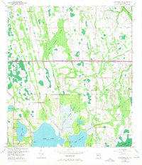
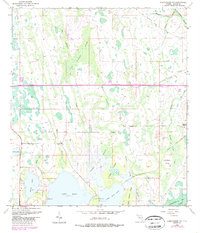
Other maps of this area

1953 · Narcoossee NE
USGS Topo · 1:24,000

1953 · Narcoossee SE
USGS Topo · 1:24,000

1953 · St Cloud North
USGS Topo · 1:24,000

1953 · Narcoossee
USGS Topo · 1:24,000

1953 · Pine Castle
USGS Topo · 1:24,000

1953 · Oviedo SW
USGS Topo · 1:24,000

1953 · Narcoossee NW
USGS Topo · 1:24,000

1953 · Bithlo
USGS Topo · 1:24,000

1955 · Orlando
USGS Topo · 1:250,000

1956 · Orlando East
USGS Topo · 1:24,000