
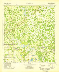
1957 Map of Orlando
USGS Topo · Published 1957This historical map portrays the area of Orlando in 1957, primarily covering Orlando as well as portions of Palm Bay, Lakeland, and Alafaya. Featuring a scale of 1:250,000, this map provides a highly detailed snapshot of the terrain, roads, buildings, counties, and historical landmarks in the Orlando region at the time. Published in 1957, it is the sole known edition of this map.
Map Details
Editions of this 1957 Orlando Map
This is the sole edition of this map. No revisions or reprints were ever made.
Other maps of this area

1893 · Panasoffkee
USGS Topo · 1:62,500

1895 · Panasoffkee
USGS Topo · 1:62,500

1895 · Ocala
USGS Topo · 1:62,500

1937 · Port Orange
USGS Topo · 1:48,000

1943 · Port Orange
USGS Topo · 1:62,500

1944 · Plant City
USGS Topo · 1:31,680
1944 · Providence
USGS Topo · 1:31,680
1944 · Polk City
USGS Topo · 1:31,680

1944 · Lakeland
USGS Topo · 1:31,680

1944 · Auburndale
USGS Topo · 1:31,680