
1953 Map of Lake Tohopekaliga
USGS Topo · Published 1954About this map
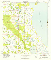
Reedy Creek Swamp dominates the western half of this Florida landscape, a vast wetlands system defined by the slow-moving Reedy Creek. This early 1950s survey captures a transition between the wilder cypress environments and early citrus or pasture lands, particularly around the southern shores of Lake Tohopekaliga. Significant for local family researchers, the Pleasant Hill Cem is located near the center of the sheet, providing a precise spatial reference for this community landmark. The map details the hydrology of the region before major modern development, showing the connectivity between Brown Lake, Lake Russell, and the interior islands like Makinson Island and the elevated Johnson Island. The boundary between Osceola Co and Polk Co is also delineated, marking the political divide through the dense swamp and pine flatwoods.
Find a feature on this map
9 named features on this map. Tap any name to fly to it.
Don’t see what you’re looking for? This feature index may not catch every label — zoom into the map to look around manually.
Map Details
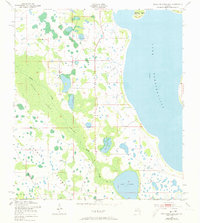
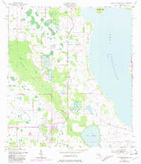
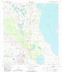
Editions of this 1953 Lake Tohopekaliga Map
5 editions found
Other maps of this area

1953 · Cypress Lake
USGS Topo · 1:24,000

1953 · Dundee
USGS Topo · 1:24,000

1953 · Lake Hatchineha
USGS Topo · 1:24,000

1953 · St Cloud North
USGS Topo · 1:24,000

1953 · St Cloud South
USGS Topo · 1:24,000

1953 · Kissimmee
USGS Topo · 1:24,000

1953 · Intercession City
USGS Topo · 1:24,000

1953 · Davenport
USGS Topo · 1:24,000

1955 · Orlando
USGS Topo · 1:250,000

1957 · Orlando
USGS Topo · 1:250,000