
1953 Map of Davenport
USGS Topo · Published 1955About this map
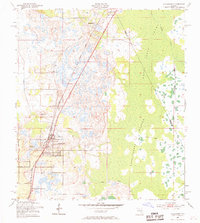
Davenport serves as the central hub of this Central Florida landscape, situated at the junction of the Atlantic Coast Line and local routes just as the post-war citrus and tourism boom began to take shape. The town's grid is clearly defined, flanked by the Davenport Cem and Red Row Cem, while the settlement of Loughman sits to the north along the rail line. To the east, the terrain transitions into the vast wilderness of the Reedy Creek Swamp, a complex wetland environment characterized by elevated terrain such as the Huckleberry Islands and Johnson Island.
Find a feature on this map
16 named features on this map. Tap any name to fly to it.
Don’t see what you’re looking for? This feature index may not catch every label — zoom into the map to look around manually.
Map Details
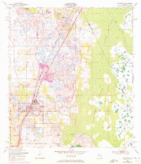
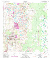
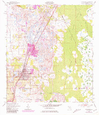
Editions of this 1953 Davenport Map
5 editions found
Other maps of this area

1953 · Dundee
USGS Topo · 1:24,000

1953 · Lake Hatchineha
USGS Topo · 1:24,000

1953 · Lake Tohopekaliga
USGS Topo · 1:24,000

1953 · Kissimmee
USGS Topo · 1:24,000

1953 · Intercession City
USGS Topo · 1:24,000

1955 · Orlando
USGS Topo · 1:250,000

1957 · Orlando
USGS Topo · 1:250,000

1958 · Orlando
USGS Topo · 1:250,000

1959 · Gum Lake
USGS Topo · 1:24,000

1959 · Lake Louisa SW
USGS Topo · 1:24,000