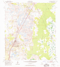
1953 Map of Davenport
USGS Topo · Published 1969About this map
The Atlantic Coast Line railroad dictates the development of northern Polk County in the early 1950s, running a diagonal line through the settlements of Loughman and Davenport. This interior Florida landscape is defined by the transition from the structured street grids and citrus groves of the towns to the sprawling, watery reaches of the Reedy Creek Swamp. To the east, the landscape dissolves into a network of wetlands and hummocks, including the Huckleberry Islands and Johnson Island, where a legacy of timber or transport is suggested by the presence of an Old Grade cutting through the marsh.
Find a feature on this map
17 named features on this map. Tap any name to fly to it.
Don’t see what you’re looking for? This feature index may not catch every label — zoom into the map to look around manually.
Map Details
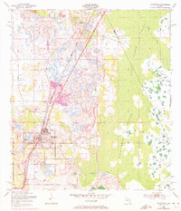
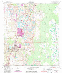
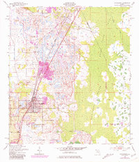
Editions of this 1953 Davenport Map
5 editions found
Other maps of this area

1953 · Dundee
USGS Topo · 1:24,000

1953 · Lake Hatchineha
USGS Topo · 1:24,000

1953 · Lake Tohopekaliga
USGS Topo · 1:24,000

1953 · Kissimmee
USGS Topo · 1:24,000

1953 · Intercession City
USGS Topo · 1:24,000

1953 · Davenport
USGS Topo · 1:24,000

1955 · Orlando
USGS Topo · 1:250,000

1957 · Orlando
USGS Topo · 1:250,000

1958 · Orlando
USGS Topo · 1:250,000

1959 · Gum Lake
USGS Topo · 1:24,000