
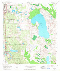
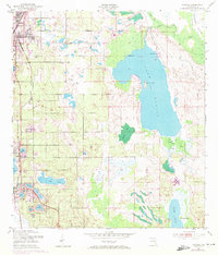
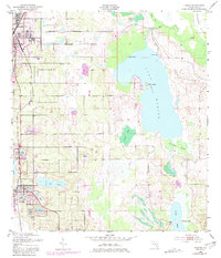
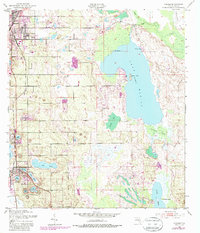
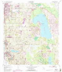
1953 Map of Dundee
USGS Topo · Published 1954About this map
Haines City anchor the northwestern portion of this mid-century Florida survey, which reveals a landscape defined by the expansive Lake Marion and its surrounding wetlands. The town of Dundee and Lake Hamilton appear alongside the vital transport corridor of the Atlantic Coast Line railroad, illustrating the importance of rail connectivity for these citrus-growing communities. The region's leisure and institutional history are represented by sites such as the Boy Scout Camp on the northern shores of Lake Marion and Jennings Camp further south.
Find a feature on this map
30 named features on this map. Tap any name to fly to it.
Don’t see what you’re looking for? This feature index may not catch every label — zoom into the map to look around manually.
Map Details
Editions of this 1953 Dundee Map
6 editions found
Other maps of this area

1952 · Lake Wales
USGS Topo · 1:24,000

1952 · Hesperides
USGS Topo · 1:24,000

1953 · Lake Hatchineha
USGS Topo · 1:24,000

1953 · Lake Tohopekaliga
USGS Topo · 1:24,000

1953 · Davenport
USGS Topo · 1:24,000

1955 · Eloise
USGS Topo · 1:24,000

1955 · Orlando
USGS Topo · 1:250,000

1956 · Fort Pierce
USGS Topo · 1:250,000

1957 · Orlando
USGS Topo · 1:250,000

1958 · Fort Pierce
USGS Topo · 1:250,000