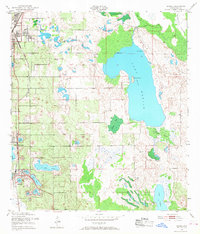
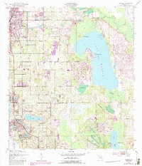
1953 Map of Dundee
USGS Topo · Published 1968About this map
The citrus-belt landscape of Central Florida is defined here by an intricate network of sinkhole lakes and emerging citrus groves in the early 1950s. Haines City serves as the northern anchor, where the Atlantic Coast Line railroad creates a transit corridor through Lake Hamilton and Dundee. This era reflects a transition where traditional swampy wetlands like Indian Head Swamp and Cowpen Bay exist alongside developing recreational and residential sites. Notable inland water bodies including Lake Marion, with its prominent Bannon Island, and Lake Menzie illustrate the varied shoreline topography that shaped local property lines and town layouts. Further south, the map details the proximity of Lake Josephine and Lake Ada to the central settlement of Dundee, providing a clear view of the region's hydrography before modern drainage and suburban expansion altered the natural flow between these many basins.
Find a feature on this map
28 named features on this map. Tap any name to fly to it.
Don’t see what you’re looking for? This feature index may not catch every label — zoom into the map to look around manually.
Map Details
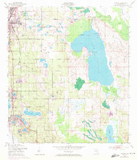
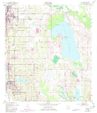
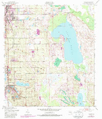
Editions of this 1953 Dundee Map
6 editions found
Other maps of this area

1952 · Lake Wales
USGS Topo · 1:24,000

1952 · Hesperides
USGS Topo · 1:24,000

1953 · Dundee
USGS Topo · 1:24,000

1953 · Lake Hatchineha
USGS Topo · 1:24,000

1953 · Lake Tohopekaliga
USGS Topo · 1:24,000

1953 · Davenport
USGS Topo · 1:24,000

1955 · Eloise
USGS Topo · 1:24,000

1955 · Orlando
USGS Topo · 1:250,000

1956 · Fort Pierce
USGS Topo · 1:250,000

1957 · Orlando
USGS Topo · 1:250,000