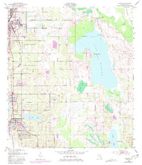
1953 Map of Dundee
USGS Topo · Published 1981About this map
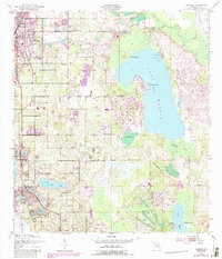
Lake-strewn citrus country defines the landscape around Haines City and Dundee in this mid-century portrait of Central Florida. The terrain is dominated by the massive Lake Marion, featuring prominent landmarks like Bannon Island and Twin Islands. This period captures the region's agricultural and recreational transition, with established towns linked by the Seaboard rail line while smaller camps and settlements such as Jennings Camp and the Boy Scout Camp dot the shorelines. Genealogists and local researchers can pinpoint the Forest Hill Cem and numerous named water bodies, including Lake Midget, Lake Trask, and Lake Josephine, which emphasize the intricate hydrology of the Indian Head Swamp area. The presence of Camp Reager south of Dundee further illustrates the localized development patterns before modern suburban expansion transformed the Polk County interior.
Find a feature on this map
30 named features on this map. Tap any name to fly to it.
Don’t see what you’re looking for? This feature index may not catch every label — zoom into the map to look around manually.
Map Details
Editions of this 1953 Dundee Map
6 editions found
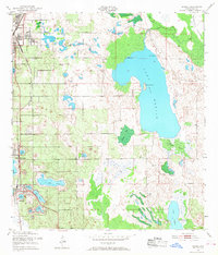
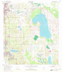
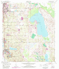
Other maps of this area

1952 · Lake Wales
USGS Topo · 1:24,000

1952 · Hesperides
USGS Topo · 1:24,000

1953 · Dundee
USGS Topo · 1:24,000

1953 · Lake Hatchineha
USGS Topo · 1:24,000

1953 · Lake Tohopekaliga
USGS Topo · 1:24,000

1953 · Davenport
USGS Topo · 1:24,000

1955 · Eloise
USGS Topo · 1:24,000

1955 · Orlando
USGS Topo · 1:250,000

1956 · Fort Pierce
USGS Topo · 1:250,000

1957 · Orlando
USGS Topo · 1:250,000