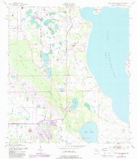
1953 Map of Lake Tohopekaliga
USGS Topo · Published 1988About this map
Lake Tohopekaliga dominates the eastern landscape of this Florida region, where the aquatic environment defines the local geography. The interior is characterized by the vast Reedy Creek Swamp, a wetland system that directs the flow of Reedy Creek southward. Human activity is clustered primarily around the southwestern shore of the lake and along the western boundary, including a Trailer Park and a sprawling Golf Course. In addition to the larger lakes like Lake Russell and Brown Lake, the presence of Pleasant Hill Cem provides a specific point of interest for genealogical research in this rural Osceola County landscape. The 1980s updates, shown in purple, illustrate the suburban expansion and drainage modifications occurring decades after the original 1950s survey, highlighting the transformation of former wetlands into residential and recreational spaces.
Find a feature on this map
14 named features on this map. Tap any name to fly to it.
Don’t see what you’re looking for? This feature index may not catch every label — zoom into the map to look around manually.
Map Details
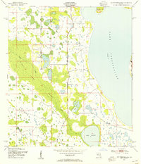
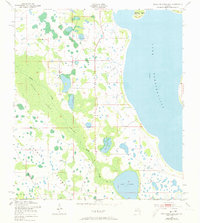
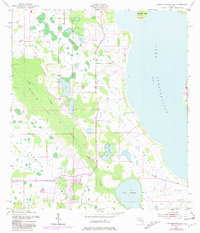
Editions of this 1953 Lake Tohopekaliga Map
5 editions found
Other maps of this area

1953 · Cypress Lake
USGS Topo · 1:24,000

1953 · Dundee
USGS Topo · 1:24,000

1953 · Lake Hatchineha
USGS Topo · 1:24,000

1953 · St Cloud North
USGS Topo · 1:24,000

1953 · St Cloud South
USGS Topo · 1:24,000

1953 · Lake Tohopekaliga
USGS Topo · 1:24,000

1953 · Kissimmee
USGS Topo · 1:24,000

1953 · Intercession City
USGS Topo · 1:24,000

1953 · Davenport
USGS Topo · 1:24,000

1955 · Orlando
USGS Topo · 1:250,000