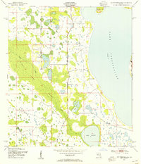
1953 Map of Lake Tohopekaliga
USGS Topo · Published 1966About this map
Lake Tohopekaliga dominates the eastern horizon of this 1950s survey, illustrating the hydrologic character of the Florida interior before major modern development. The landscape is defined by the vast Reedy Creek Swamp, a complex drainage system where Reedy Creek filters through thick vegetation toward the south. This transition zone between Osceola Co and Polk Co reveals a pattern of isolated uplands and islands, such as Makinson Island and Johnson Island, which provided critical dry ground in an otherwise saturated environment. Cultural features are sparse, yet significant for local history, notably the Pleasant Hill Cem located near the shore. Smaller water bodies like Lake Russell and Brown Lake dot the western reaches, marking the subtle elevations that historically dictated where settlement and passage were possible in this region of central Florida.
Find a feature on this map
9 named features on this map. Tap any name to fly to it.
Don’t see what you’re looking for? This feature index may not catch every label — zoom into the map to look around manually.
Map Details
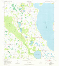
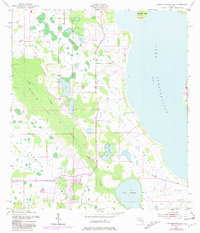
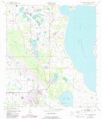
Editions of this 1953 Lake Tohopekaliga Map
5 editions found
Other maps of this area

1953 · Cypress Lake
USGS Topo · 1:24,000

1953 · Dundee
USGS Topo · 1:24,000

1953 · Lake Hatchineha
USGS Topo · 1:24,000

1953 · St Cloud North
USGS Topo · 1:24,000

1953 · St Cloud South
USGS Topo · 1:24,000

1953 · Lake Tohopekaliga
USGS Topo · 1:24,000

1953 · Kissimmee
USGS Topo · 1:24,000

1953 · Intercession City
USGS Topo · 1:24,000

1953 · Davenport
USGS Topo · 1:24,000

1955 · Orlando
USGS Topo · 1:250,000