1953 Map of St. Cloud South
USGS Topo · Published 1981About this map
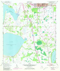
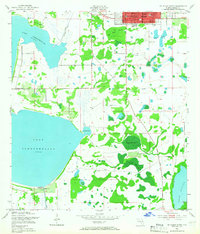
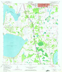
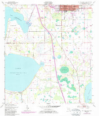
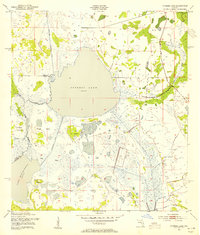
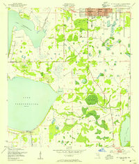
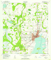
St Cloud anchors this 1953 survey of Osceola County, showing the community's early layout near the southern shores of Lake Tohopekaliga. The map documents a period of significant transition as Floridas Turnpike Toll Road cuts a modern path through the traditional Florida landscape of sloughs and ponds. Notable local landmarks such as Mt Peace Cem, West Side Sch, and Memorial Park are clearly marked, alongside civic essentials like the City Hall and the St Cloud Airfield.
Find a feature on this map
27 named features on this map. Tap any name to fly to it.
Don’t see what you’re looking for? This feature index may not catch every label — zoom into the map to look around manually.
Map Details
Editions of this 1953 St. Cloud South Map
5 editions found
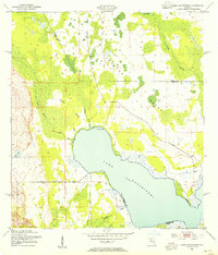
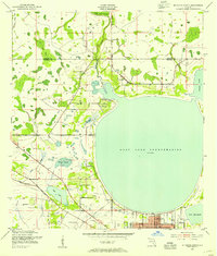
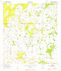
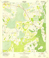
Other maps of this area
1953 · Cypress Lake
USGS Topo · 1:24,000
1953 · Lake Hatchineha
USGS Topo · 1:24,000
1953 · St Cloud North
USGS Topo · 1:24,000
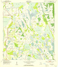
1953 · Narcoossee
USGS Topo · 1:24,000
1953 · St Cloud South
USGS Topo · 1:24,000
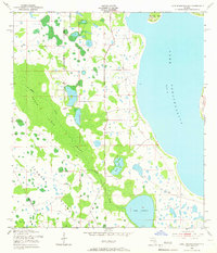
1953 · Lake Tohopekaliga
USGS Topo · 1:24,000
1953 · Holopaw SW
USGS Topo · 1:24,000
1953 · Ashton
USGS Topo · 1:24,000
1953 · Kissimmee
USGS Topo · 1:24,000

1955 · Orlando
USGS Topo · 1:250,000