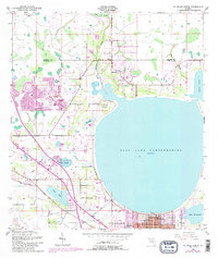
1953 Map of St Cloud North
USGS Topo · Published 1987About this map
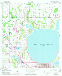
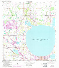
East Lake Tohopekaliga dominates this landscape on the northern edge of St Cloud, where the grid of the city meets the shoreline. The transition from town to wetlands is marked by intricate drainage features like Fennel Slough, Bass Slough, and Fish Lake. Cultural history is evident in the placement of the Barber Cem and Mt Carmel Cem, along with Lock Haven Ch situated north of the city. The map captures the encroachment of modern infrastructure, with Floridas Turnpike cutting through the western terrain near Partin Settlement Road. These mid-century surveys reveal how the natural basin of Boggy Creek Swamp and Bear Bay influenced the expansion of the St Cloud Corp Bdy, showing the intersection of Florida's hydrology and human development.
Find a feature on this map
22 named features on this map. Tap any name to fly to it.
Don’t see what you’re looking for? This feature index may not catch every label — zoom into the map to look around manually.
Map Details
Editions of this 1953 St Cloud North Map
7 editions found
Other maps of this area

1953 · Lake Jessamine
USGS Topo · 1:24,000

1953 · St Cloud North
USGS Topo · 1:24,000

1953 · Narcoossee
USGS Topo · 1:24,000

1953 · St Cloud South
USGS Topo · 1:24,000

1953 · Lake Tohopekaliga
USGS Topo · 1:24,000

1953 · Ashton
USGS Topo · 1:24,000

1953 · Pine Castle
USGS Topo · 1:24,000

1953 · Kissimmee
USGS Topo · 1:24,000

1953 · Narcoossee NW
USGS Topo · 1:24,000

1955 · Orlando
USGS Topo · 1:250,000