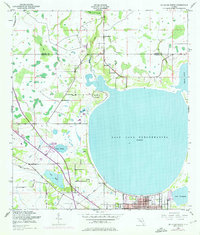
1953 Map of St Cloud North
USGS Topo · Published 1976About this map
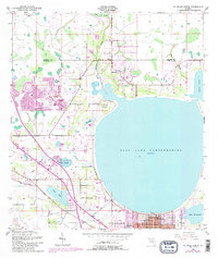
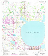
St Cloud occupies the southern shoreline of East Lake Tohopekaliga, an area defined by complex water systems and low-lying wetlands. The landscape is a network of sloughs and canals, including the St Cloud Canal and the Partin Spoil Bank Canal, which illustrate the region's managed drainage. To the north, Boggy Creek Swamp and Bear Bay dominate the terrain, reflecting the swampy character of the Orange and Osceola county line before intensive suburban development.
Find a feature on this map
29 named features on this map. Tap any name to fly to it.
Don’t see what you’re looking for? This feature index may not catch every label — zoom into the map to look around manually.
Map Details
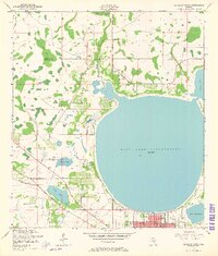
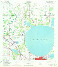
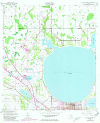
Editions of this 1953 St Cloud North Map
7 editions found
Other maps of this area

1953 · Lake Jessamine
USGS Topo · 1:24,000

1953 · St Cloud North
USGS Topo · 1:24,000

1953 · Narcoossee
USGS Topo · 1:24,000

1953 · St Cloud South
USGS Topo · 1:24,000

1953 · Lake Tohopekaliga
USGS Topo · 1:24,000

1953 · Ashton
USGS Topo · 1:24,000

1953 · Pine Castle
USGS Topo · 1:24,000

1953 · Kissimmee
USGS Topo · 1:24,000

1953 · Narcoossee NW
USGS Topo · 1:24,000

1955 · Orlando
USGS Topo · 1:250,000