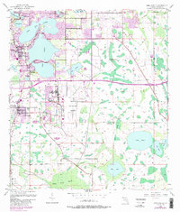
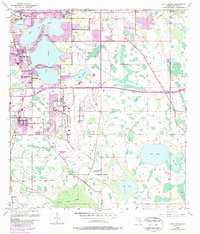
1953 Map of Pine Castle
USGS Topo · Published 1987About this map
The transition from citrus groves and wetlands to a major metropolitan hub is evident across this mid-century survey of southern Orange County. Communities like Pine Castle and Belle Isle sit adjacent to the intricate shoreline of Little Lake Conway, while the southern portion of the map is defined by the expansive Boggy Creek Swamp. The topography reveals an landscape of hundreds of water bodies, ranging from the large Lake Nona to smaller ones such as Lake Jennie Jewel and Lake Mary.
Find a feature on this map
34 named features on this map. Tap any name to fly to it.
Don’t see what you’re looking for? This feature index may not catch every label — zoom into the map to look around manually.
Map Details
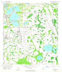
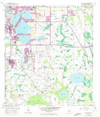
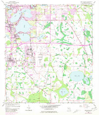
Editions of this 1953 Pine Castle Map
6 editions found
Other maps of this area

1953 · Lake Jessamine
USGS Topo · 1:24,000

1953 · St Cloud North
USGS Topo · 1:24,000

1953 · Narcoossee
USGS Topo · 1:24,000

1953 · Pine Castle
USGS Topo · 1:24,000

1953 · Kissimmee
USGS Topo · 1:24,000

1953 · Oviedo SW
USGS Topo · 1:24,000

1953 · Narcoossee NW
USGS Topo · 1:24,000

1955 · Orlando
USGS Topo · 1:250,000

1956 · Orlando West
USGS Topo · 1:24,000

1956 · Orlando East
USGS Topo · 1:24,000