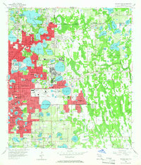
1956 Map of Orlando East
USGS Topo · Published 1966About this map
Winter Park and eastern Orlando dominate this mid-century landscape, a period marked by the expansion of residential neighborhoods and institutional footprints. The massive Orlando Air Force Base occupies a significant portion of the central terrain, while Rollins College and the Isle of Sicily highlight the upscale development around the region's numerous lakes. The map documents the city's growth along the Seaboard Coast Line railroad, which services the area alongside aviation facilities like Showalter Airpark. Local community life is evidenced by numerous educational and religious sites, such as Audubon Park Sch and Union Park Ch, while the natural topography is defined by dozens of named water bodies, including Lake Barton and Lake Maitland. Cultural landmarks such as Greenwood Cemetery and Mead Garden provide essential reference points for those studying the mid-1950s urban and suburban layout of Orange County.
Find a feature on this map
115 named features on this map. Tap any name to fly to it.
Don’t see what you’re looking for? This feature index may not catch every label — zoom into the map to look around manually.
Map Details
Editions of this 1956 Orlando East Map
4 editions found
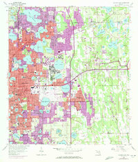
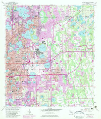
Other maps of this area

1953 · Lake Jessamine
USGS Topo · 1:24,000

1953 · Pine Castle
USGS Topo · 1:24,000

1953 · Oviedo SW
USGS Topo · 1:24,000

1953 · Narcoossee NW
USGS Topo · 1:24,000

1955 · Orlando
USGS Topo · 1:250,000

1956 · Oviedo
USGS Topo · 1:24,000

1956 · Orlando West
USGS Topo · 1:24,000

1956 · Orlando East
USGS Topo · 1:24,000

1957 · Orlando
USGS Topo · 1:250,000

1958 · Orlando
USGS Topo · 1:250,000